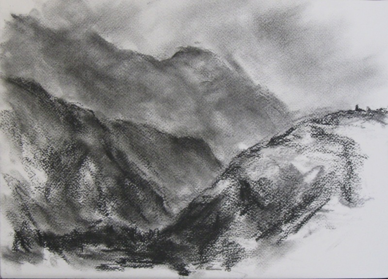
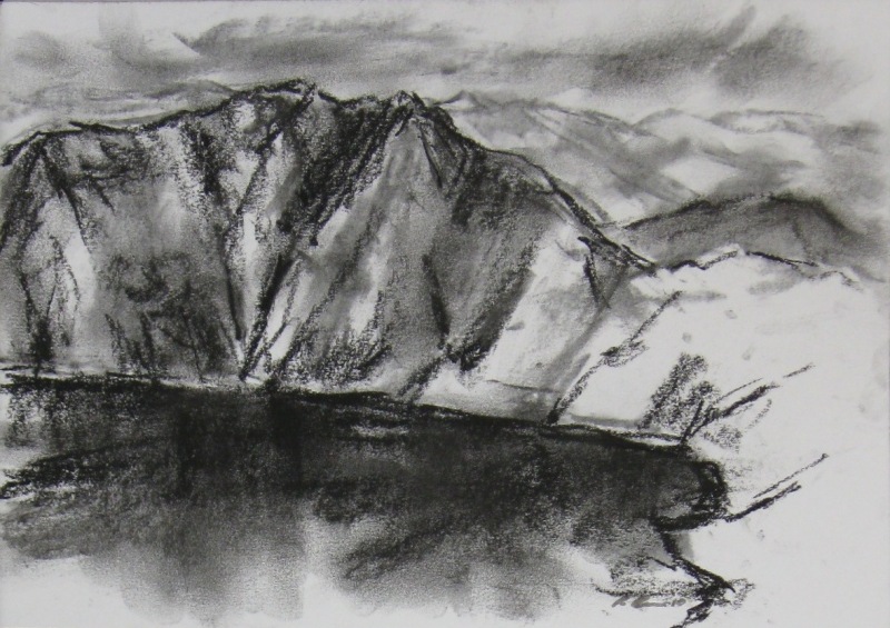
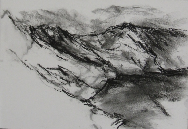
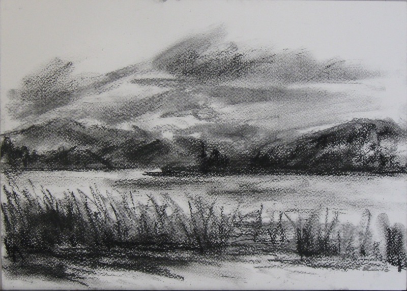
A 25-month drawing journey through the Greek Islands, Poland, Norway, Iceland, Portugal (including Madeira), Morocco, then South and Central America.
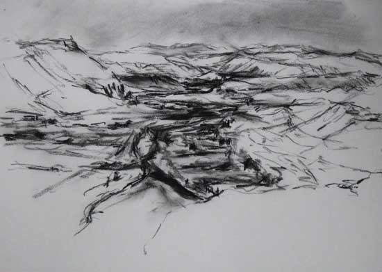
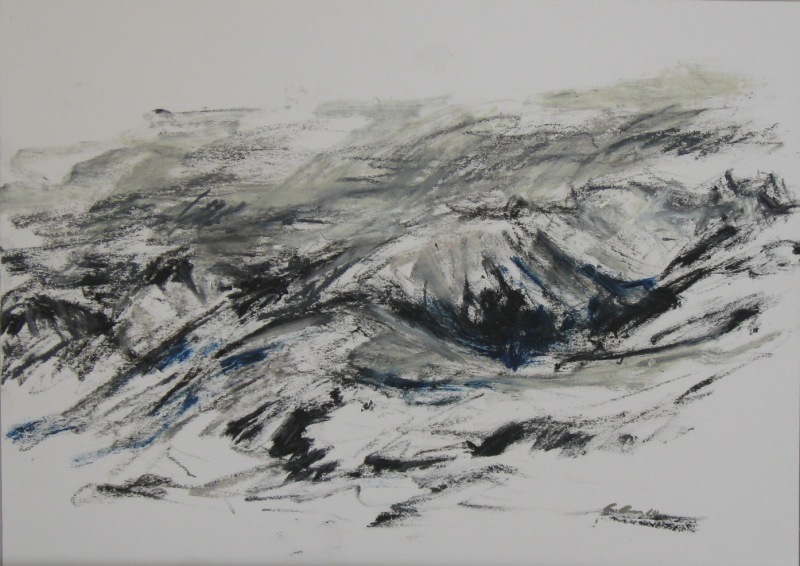
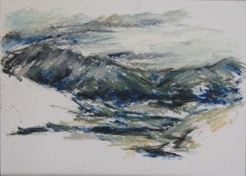
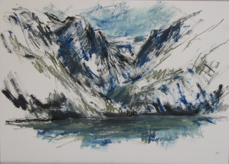
This selection of pastel and charcoal drawings is from a collection of over 700 works on paper done during this solo journey, starting in Greece in November 2008 and finishing in Mexico in November 2010.
All artworks were done in the landscape, and many were done in difficult weather conditions, including sub-zero temperatures, high altitude, storm-force winds, 40-degree heat, snowstorms, rain, hail and dust. These conditions were part of the drawing process for my works on paper and the expressive power of nature’s elements. What I could carry in my drawing folder determined the size of these artworks on this journey. The art mediums used suited the requirements to work quickly in all weather conditions. On some occasions, artwork was posted back to Australia to reduce the weight I had to carry.
Essentially, this journey was undertaken as a solo traveller. This enabled me to have a far more direct experience with the places and people I came into contact with. When I use the word “we” in my journal extracts, it is in the context of being on a train, bus or ferry. Not with travelling companions.
Mediums: Oil, soft pastel and charcoal on paper. Dimensions: from 30-21cm to 50-32cm.
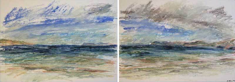
Artworks in single panel and diptych format.
This page contains journal extracts and artworks from this journey.
Greek Islands 2008-09.
Journey through the Greek Islands of Naxos, Paros, Santorini, Crete and Karpathos. From November 2008 to February 2009.
Greek Island journal extracts.
Just to the east of the main town of Hora, was a small chapel built into a cave on a ridge near a monastery overlooking the sea. I walked up to this beautiful spot and sketched the town and landscape below to the north and west. It was a bit windy but was warm and sunny all day and I even stayed for a gorgeous sunset. I came up here a few times to sit and draw from this lovely spot. Naxos, Greece 2008.
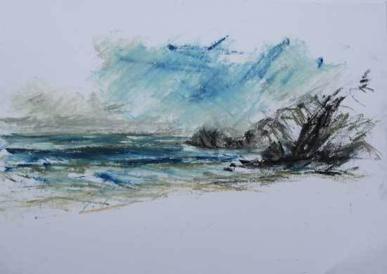
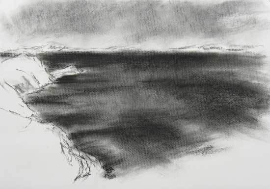
Having a 200 to 300m elevation on the cliffs made this place ideal for wind effects on the water, as well as the dramatic forms of the cliffs themselves. When the wind was strong, the water movement was more prominent. There were days of fantastic light created by dark storm clouds moving across with beams of light coming through. Santorini, Greece 2008.
It was a bit like a mini trek with my medium-sized pack with all my stuff and drawing folder full of paper. It was quite warm and humid on this second day of the walk with the rain pouring down every 30 minutes or so in brief intervals. The breaks in the weather were well timed with sunshine for lunch and a look around the mosaic tiled floors and villas of the ancient site of Lissos. It pelted down with rain again when I entered a spectacular overhanging gorge just to the west of Sougri. A herd of goats followed me down the dry riverbed, then climbed a large rock in the middle of the gorge to peer down at me. South-west Crete, Greece 2009.
I spent much of the day in the lovely town of Olympos, walking its lanes and drawing from various spots. It was quite a stunning hill-town overlooking the north-west coast, on a ridge top with working windmills between the houses. I noticed some of the older women still wearing traditional heavily weaved costumes, mostly in black with white and coloured floral designs. Karpathos, Greece 2009.
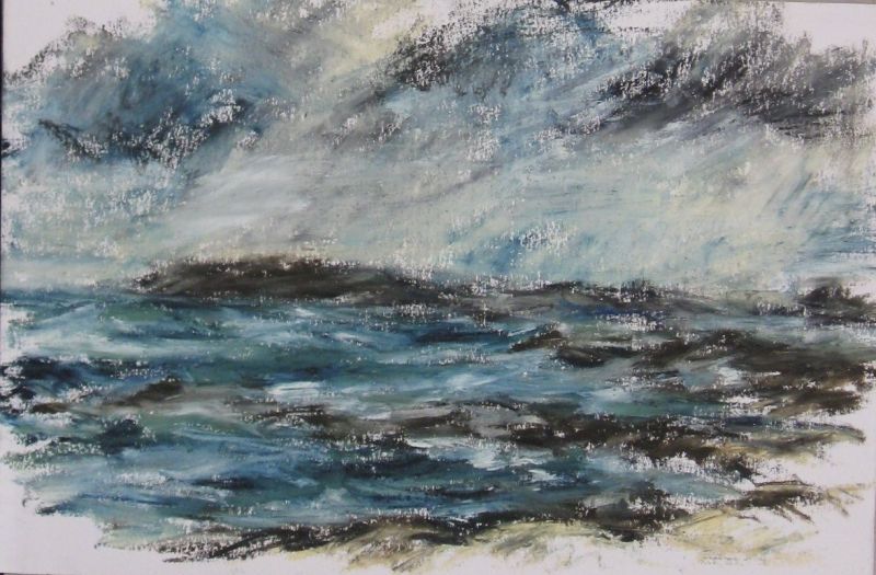
Greek Island artworks.
Mediums: Oil pastel and charcoal on paper. Dimensions: 31-21cm to 43-31cm.
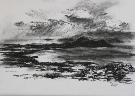
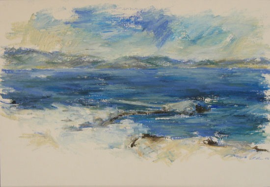
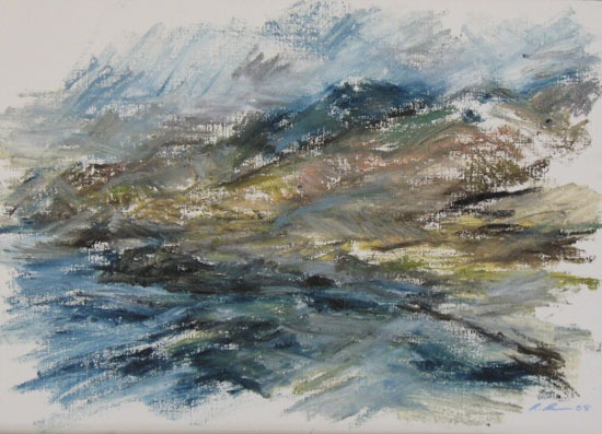
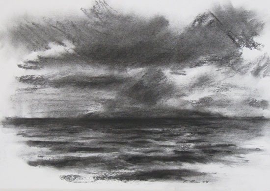
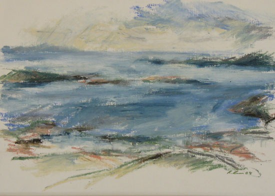
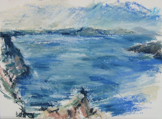
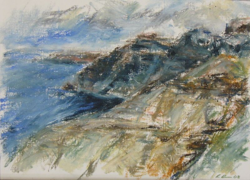
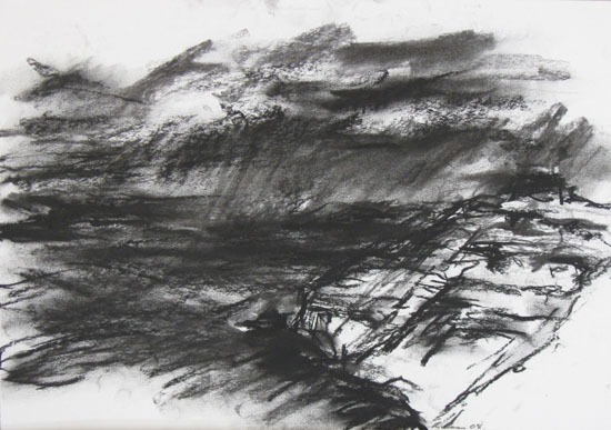
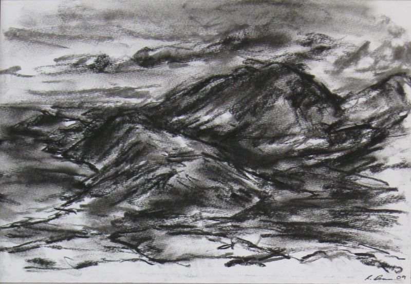
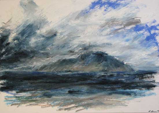
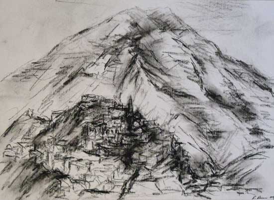
Europe & Morocco 2009-10.
Living and teaching English in Plonsk, Poland from February to July 2009, then a journey through Norway, Iceland, Faroe Islands, Portugal, Madiera and Morocco from July 2009 to February 2010.
Europe and Morocco journal extracts.
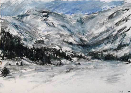
This was a particularly beautiful valley dotted with pine trees lower down and with some thicker bands of forest here and there. I did some sketches along the way and at one spot I got a bit of sunburn from the reflected glare of the sun as I sat in the snow. It actually got quite warm, but I was so into the drawing that I ignored it. Tatry Mtns, southern Poland 2009.
By late May and into June, it got quite warm and humid in Plonsk. A couple of times in the countryside, I got caught in thunderstorms. The weather was fine when I started the walk but by 3pm it would cloud over with storm clouds forming and lightning and thunder all around. One time, I had to huddle under some trees with my flimsy umbrella as a big storm passed right overhead. I had to be careful not to stand under a tall tree in case it was struck by lightning. Plonsk region, central Poland 2009.
Eventually, I got up to the ridge tops and was greeted by some stunning views of the deep valleys and rocky peaks to the south and east. There was still quite a bit of snow on most of the peaks, even though it was mid-summer. I could only imagine how big the glaciers were that formed this dramatically steep-sided valley. I did a few sketches of this incredible landscape, with the changing light as dark clouds formed and developed into a storm. It was quite warm and humid, with brief showers passing over. Andalsnes region, western Norway 2009.
I continued up along a moraine next to the glacier to a peak at 1260m which overlooked a southern section of the Jostedalsbreen. It was the closest thing I had seen to an Antarctic or Greenland icecap then. The blueness of the ice on this glacier was also a tremendous sight, along with its crevasses of incredible shapes. I spent about four hours up here just taking it all in and doing some drawings of this landscape of ice and rock. Jostedalsbreen, western Norway 2009.
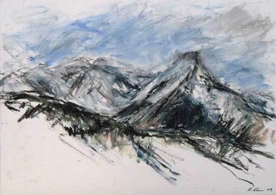
I decided to hitch-hike west along the peninsula to a volcano called Snefellnes. This was the beginning of the story called Journey to the centre of the Earth. I had read this story as a child and was always fascinated with how they managed to get into a volcano. It took me four lifts to get past the small town of Hellessandur but managed to do some drawings on the way, including a couple of the volcano as the cloud lifted around 3pm revealing a snow-capped peak above the plains. Snefellsnes, western Iceland 2009.
Today, I walked south out of the town past the tip and up a track to a 1200m high peak with excellent views of the surrounding mountains, valley and the fjord to the north. There were beautiful colours in the volcanic rocks of yellow, red, brown and black. I had great weather and could see the snow-covered peaks of what maybe volcanoes to the south and west. Akureyri region, northern Iceland 2009.
It was a warm humid day with a few other people on the trail, following an old route linking the north of the island to the south. It traversed up and down a narrow ridge, very similar to a Himalayan path. It was mostly clear weather on the way there, but it was starting to cloud over as I reached the top of Pico Grande at 1657m. It was a lovely walk out along the ridge-tops then up the east side of the peak, with fantastic views of the deep valleys and high mountains. Madeira Island 2009.
There were no problems finding a way across the plains and up the ridges to the plateau, as I could walk anywhere in this open desert country. It was wonderful to be right out in the desert with no one around, no traffic and no noise. I stopped to draw along the way with some better results than yesterday. After reaching the edge of the plateau, I enjoyed the views of the Atlas Mountains and the valley below, with the town of Tandaght and its gardens with date palms on either side of the river. I saw shepherds moving flocks of sheep and goats using well-aimed rocks. A large flock came up as I was heading back along the ridge, then I saw the shepherd come from the opposite direction some way off. Atlas Mtns, southern Morocco 2010.
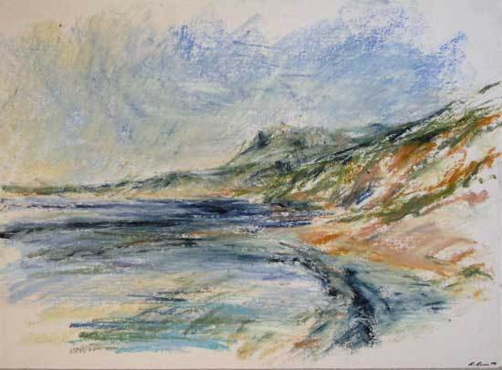
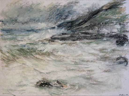
European and Moroccan artworks.
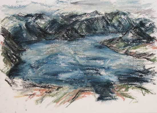
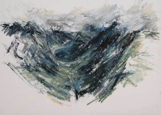
Mediums: Oil pastel and charcoal on paper. Dimensions: 31-21cm to 61-43cm.
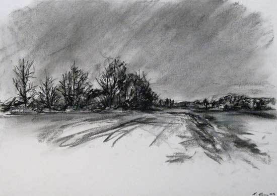
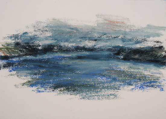
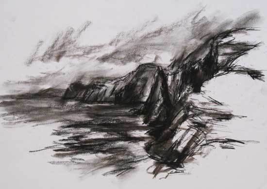
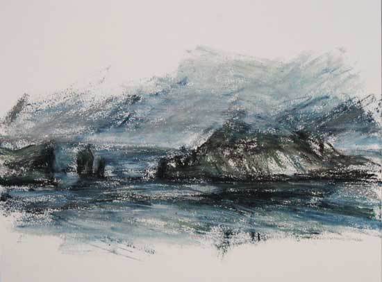
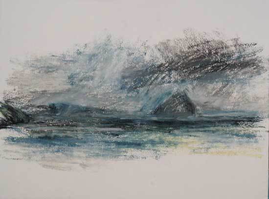
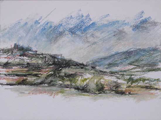
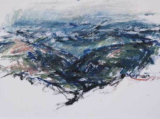
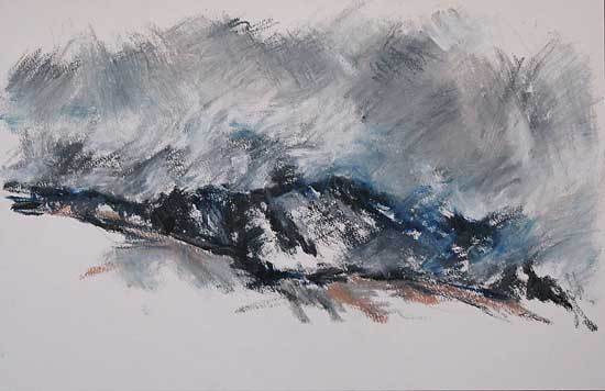
South and Central America 2010.
A seven-month journey through South America, including the Patagonian and Atacama regions of Chile and Argentina, then Peru, Ecuador and Colombia. Then two months through Central America from Panama, Nicaragua, Honduras, Guatemala to Mexico from February 2010 to December 2010.
South American journal extracts.
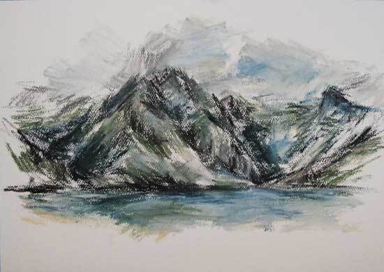
The sixth day was a good climb up to a 1100m pass, up a valley with high peaks to the north and south. It was quite rocky towards the top, with fantastic views of the Grey Glacier to the west sweeping down from the huge Southern Icecap to the north. It was a bit misty but still, while I did some drawings near the pass and a bit lower down. I then walked slowly down the west side with more of the glacier revealing itself as I got closer to it, until I got to the tree line and disappeared into the gorgeous lenga forest. Torres del Paine NP, southern Chile 2010.
I walked up a ridge to a moraine with great views of Monte Fitz Roy and surrounding peaks and two lakes below. The peaks were in cloud most of the time, but I had glimpses of the higher parts now and then. I managed to do about six drawings of this magnificent and dramatic landscape before the weather turned bad and quite windy. Mt Fitz Roy NP, southern Argentina 2010.
After spending one extra day here, I was keen to move on to the next camp over a high ridge and down to Estero Parada to the west. I packed my wet stuff and walked up and above Laguna Castillo to a ridge above leading to the shoulder of Cerro Castillo. I did some drawings along the way and had stunning views all around, including down into Lago General Carrera way below and the snow-capped peaks to the south. Cerro Castillo, southern Chile 2010.
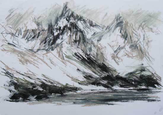
The horseshoe-shaped valley and jagged peaks above were beautiful with the fresh snow and sun shining on them. I visited the cozy refugio a few more times, before retiring to my tent for the evening, as I did last night. For the three nights I was here, my tent froze like an igloo covered in icy snow. Even my boots were frozen solid each morning and were hard to put on, making my feet go numb with cold. Cerro Cathedral, southern Argentina 2010.
It was a fairly quick walk up to the next pass and not so steep. I had great views from here as well, of the whole range with its mantle of thick snow. I did some more sketches from both directions of the ridge before heading down another steep snow-covered scree-slope to Arroyo Casa de Piedra below the snow. Then on up the valley trail to Refugio Jacob and a lake of the same name. Cerro Cathedral, southern Argentina 2010.
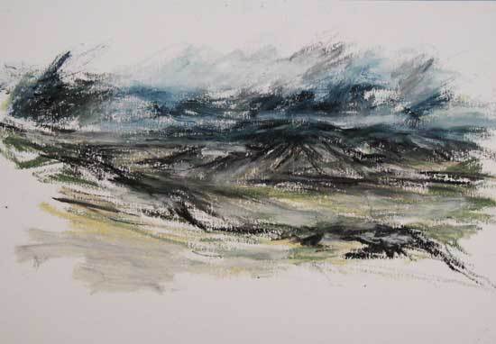
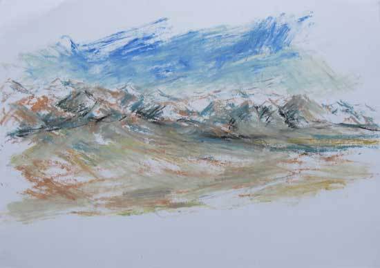
It became windy during the afternoon as I was drawing higher up on the slopes. Dark clouds formed around the volcanoes, creating very dramatic light effects. The views of this and the vast valley stretched out before me was magnificent. I managed to do a group of drawings before it got too windy and dusty. Salar de Atacama, northern Chile 2010.
It was lovely to sit up here and watch the light change as clouds passed over the steep-sided canyon below. In the afternoon, I walked out along the road through the terraced fields to a point overlooking the canyon and the upper valley of the town and its terraced fields. The views were superb from here, with the canyon dropping away almost 3000m to the bottom. Colca Canyon, southern Peru 2010.
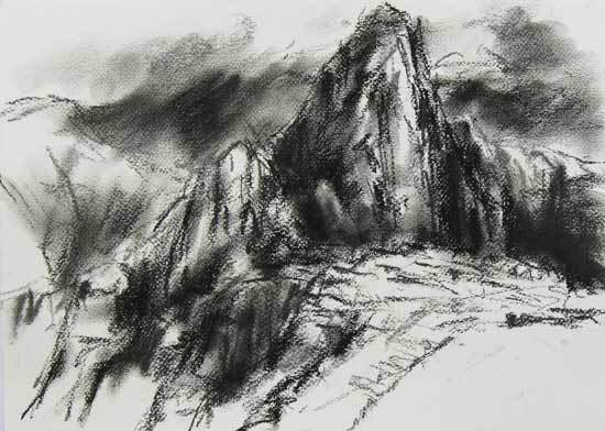
The mist was slowly starting to rise to reveal the peak and deep valley below. It misted over again as I climbed the steep stepped pathway winding up to the top of the peak. After 40 minutes, I found the summit where it was a bit crowded. I found a nice spot on a little terrace above a cave to view the rising mist over the ruins of Machu Picchu below and did some drawings here. Machu Picchu, southern Peru 2010.
Above the terraces, was a religious ceremonial site with some huge stone blocks making up a sloping wall. They were beautifully cut and carved with curved sides and little knobs here and there. I then walked further up the ridge above the citadel where I had great views of the valley and town below. It was nice to see the Inca terraces still being used today with crops of corn, potatoes and other things growing or being harvested. This was the first time I really saw that the indigenous peoples were still going about their lives as they have been for thousands of years. As I did yesterday, I stayed up here for a few hours drawing and enjoying the solitude. Sacred Valley, southern Peru 2010.
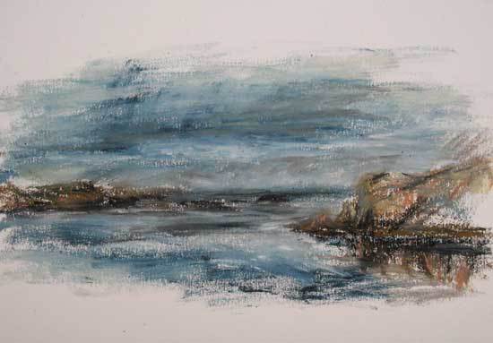
I spent the afternoon walking along a pleasant trail through terraced fields to the southern end of the island, then back up the western side to the main trail between the village and the harbour on the west side. The views of the lake and surrounding islands and coast were tremendous, with the distant ice-capped mountains of Bolivia on the eastern horizon. From the highest point on the ridge, it was possible to see all sides of the lake and get a sense of its scale and appreciate the islands position in the lake. Ilsa de Taquile, Lago Titicaca, southern Peru 2010.
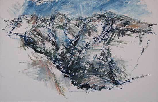
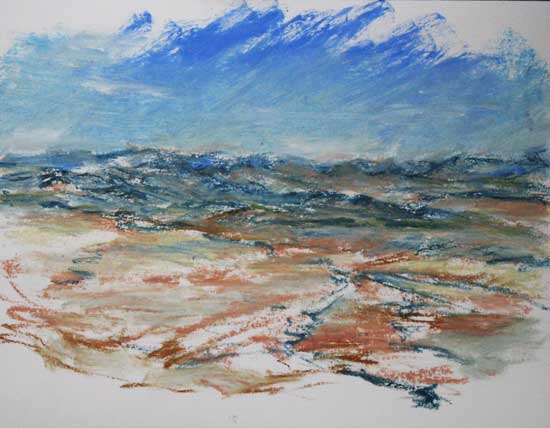
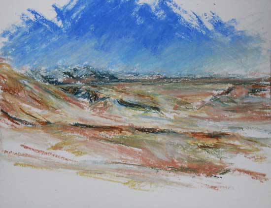
South American artworks.
Mediums: Oil pastel and charcoal on paper. Dimensions: 31-21cm to 43-31cm.
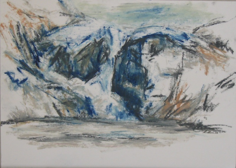
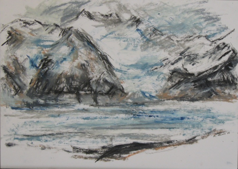
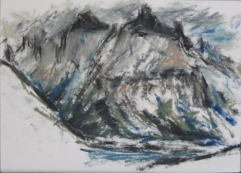
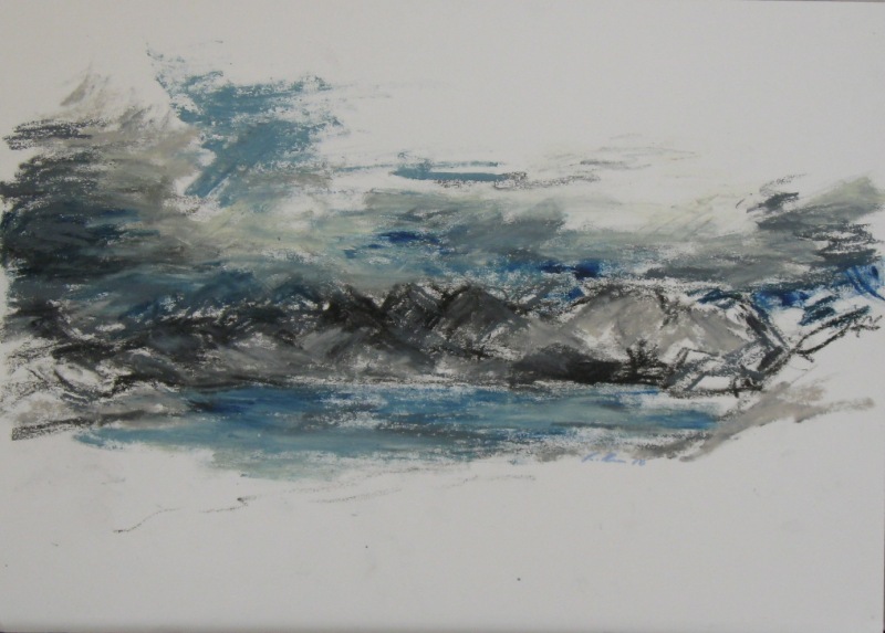
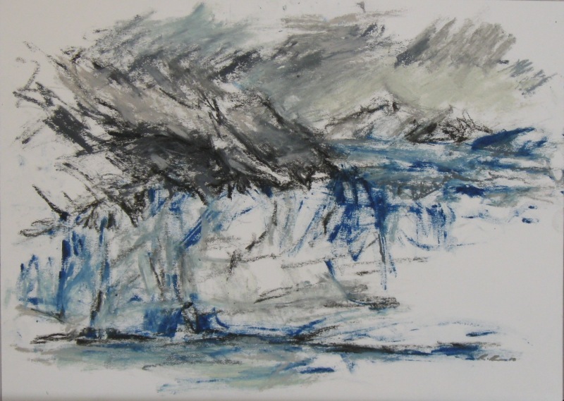
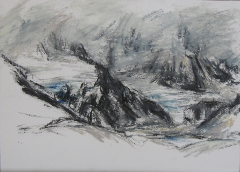
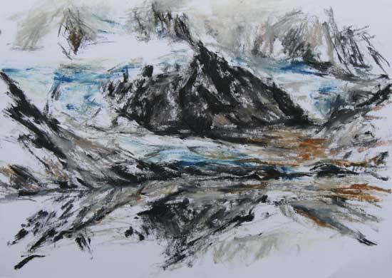
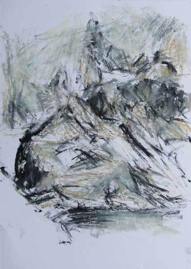
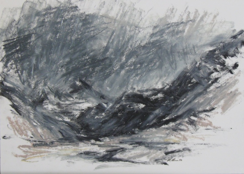
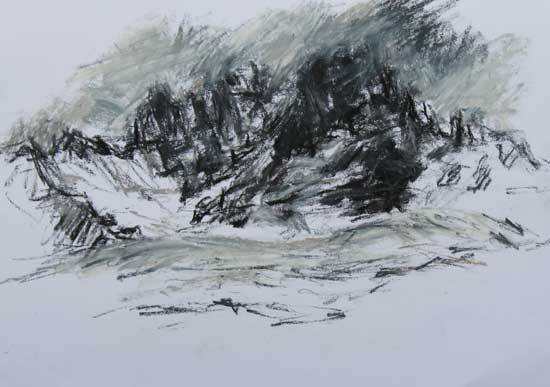
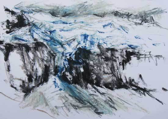
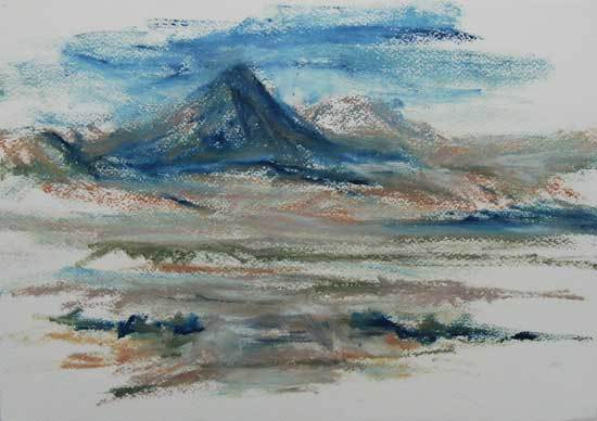
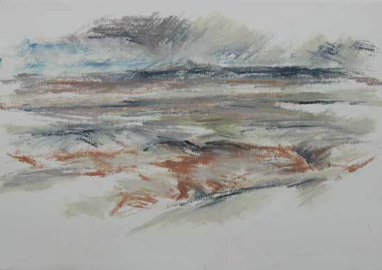
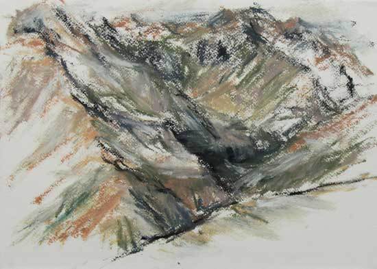
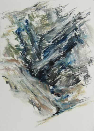
South and Central American journal extracts.
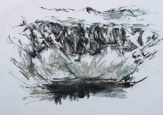
I continued around the north side, where I drew some more before a cool wind started to blow up the side of the volcano and the mist began to roll in over the north side of the rim. I passed two small shepherd boys with their flock of sheep and goats on the north-west side, then headed on around to the west side where I found a lovely spot to watch the mist rolling over the rim and into the crater. Lago Qu’lo toa, central Ecuador, 2010.
I crossed a river on a bamboo bridge, then followed a trail up through the forest to the Segovia Tombs. They were all closed but I still got to see the beautiful steles at the entrance and good views of the valley from the hilltop. I did some drawings, then continued up past more tombs, then to the road which I took back down to San Andrea village. Tierradentro, southern Colombia 2010.
Cloud was hanging on the tops of the surrounding hills, which were covered in dense forest that was smothered in ivy. However, a lot of the forest had recently been cleared for farming, including steep slopes that would easily erode in heavy rain. I got to draw the cloud-forests before it started raining, and got some good views of the valley, Cerro Punta and the surrounding forested hills from the highest points on the road before it petered out in the farmland. One of the farmers came over to check me out while I was sitting by his potato field enjoying the view. He had a big grass-cutting knife to do a bit of slashing or maybe in case he thought I was a hostile intruder. Cerro Punta, northern Panama 2010.
I particularly liked how the forest had been retained and not cleared back. It felt right that the forest had reclaimed what was an abandoned city and had revealed it to us again, like a glimpse through a heavy parted curtain. There were massive trees growing all over some of the temple pyramids. Some may almost go back to the time the city was abandoned in the late ninth century. Copan, western Honduras 2010.
I took a local bus back up the hill towards the town of Solola, getting off at the mirador overlooking the lake. I had fantastic views of the lake and volcanoes from here and did a few drawings of this, amongst all the souvenir stalls and had a little audience while doing them. I chatted with one of the stallholders (Rapha), before walking down the road past the village of San Jorge to another nice mirador where I did some more drawing. Lago Atitlan, central Guatemala 2010.
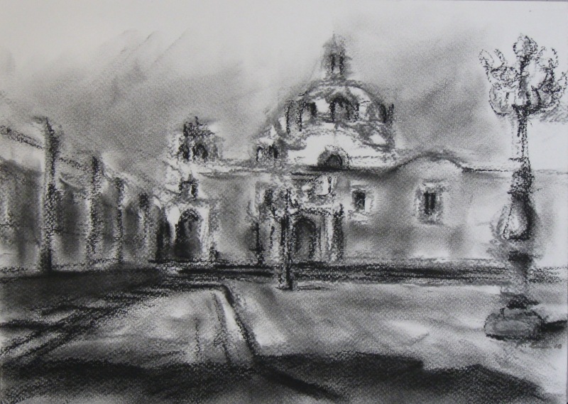
This morning, I visited the stunning baroque chapel of the Temple del Santo Domingo with its lovely red rendered walls, then did some drawings of this in the beautiful courtyard space outside. Puebla, central Mexico 2010.
I came back via some seedy neighbourhoods right next door to ritzy ones, which was a contrast not often seen and shows the extreme divide in wealth and poverty here. I spent the evening in the plaza again, and this time, I watched the performers and musicians on the main stage. The Shaman´s Dance, including traditional and electronic music, was excellent, with driving rhythms and drumming full of energy. The Shaman performers (dancers) were dressed in full feather headdresses and used fire sticks, spears and a flaming rubber ball. The sound of the thundering drums was amazing. The plaza was packed with perhaps 100,000 people and a similar number in the surrounding streets. Mexico City, Mexico 2010.
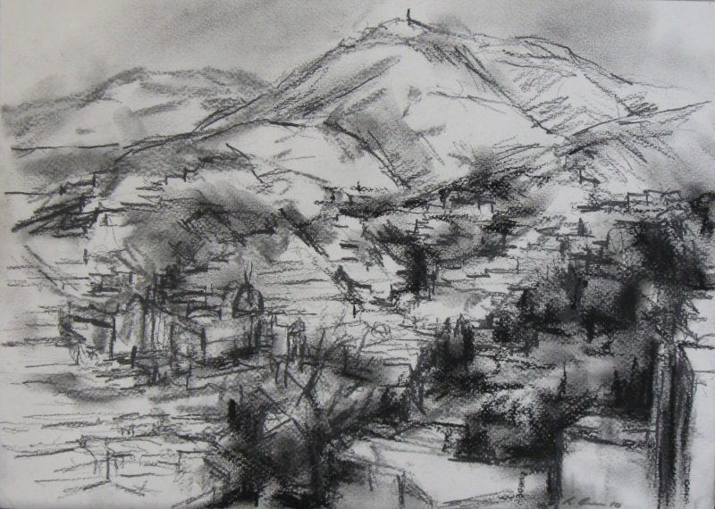
I spent the day wandering about the town and up on the hill above to do some drawing. It was a lovely town and the perfect antidote to Mexico City. The air was clean and fresh, and the narrow streets were mostly quite peaceful and without crowds. I indulged in another evening of free arts festival events, although there wasn´t as much going on this evening. I heard a brass band play and saw kid´s animation films with a rather chilly wind blowing through the town. Guanajuato, northern Mexico 2010.
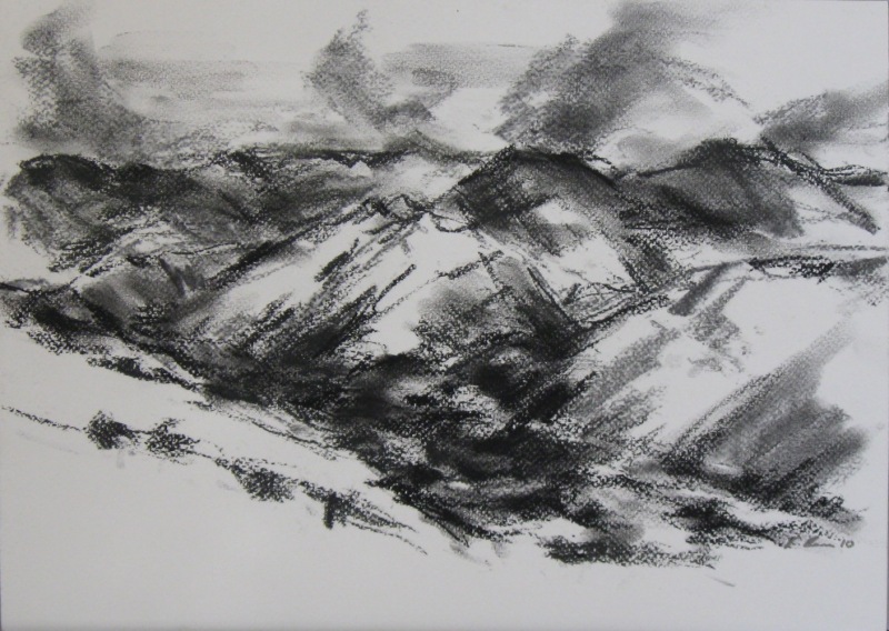
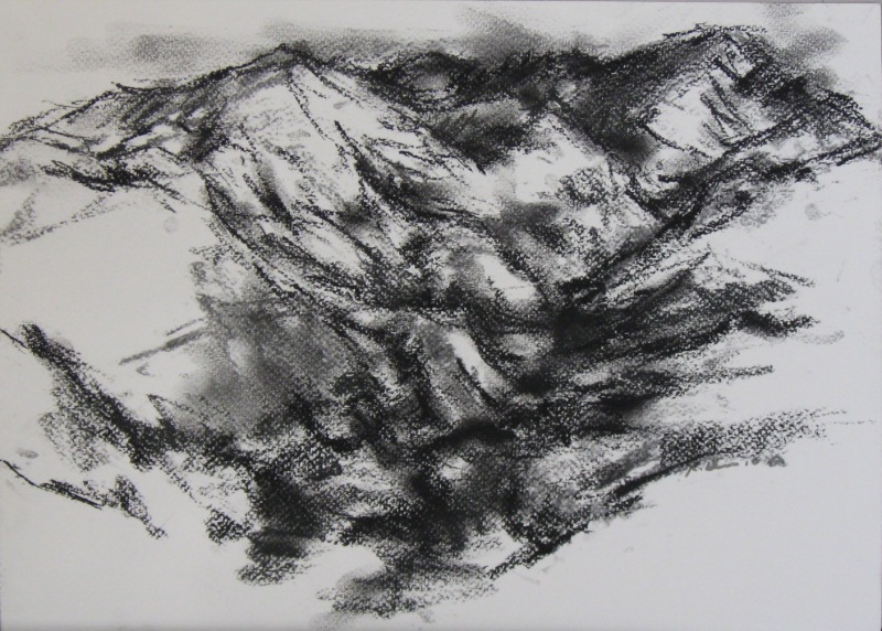
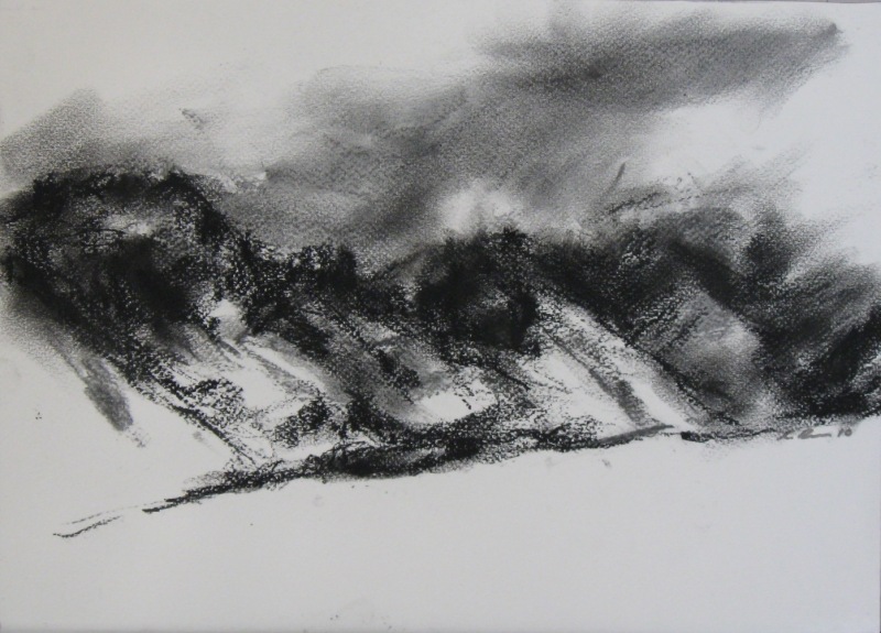
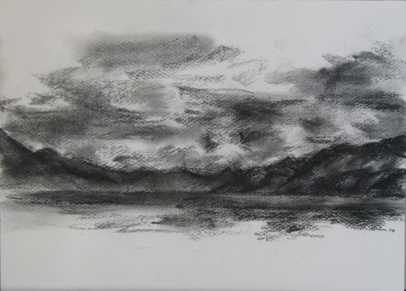
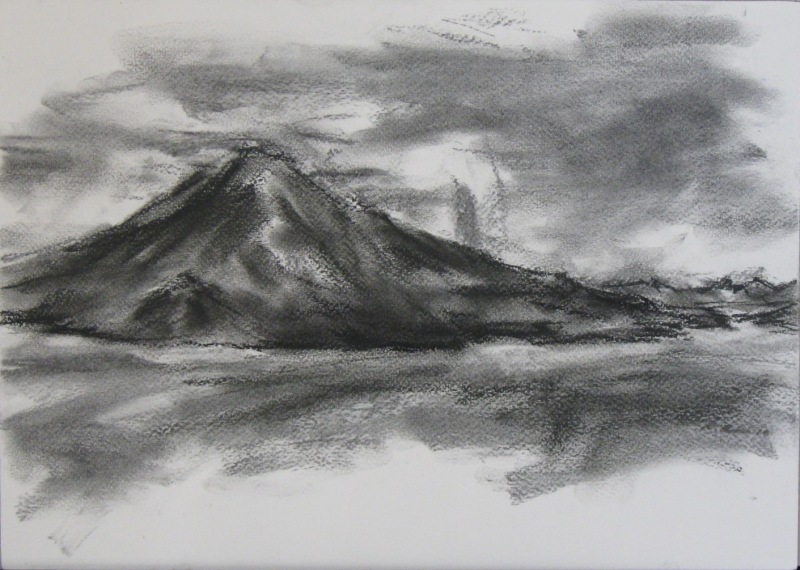
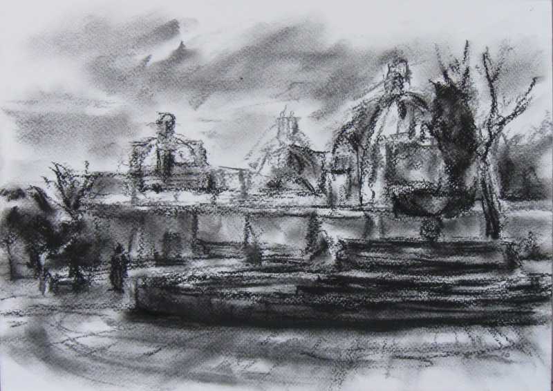
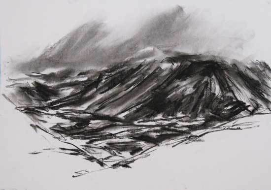
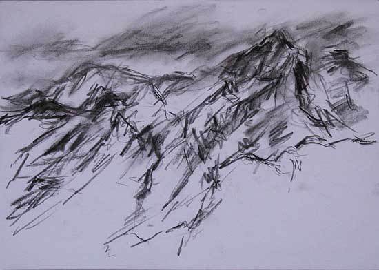
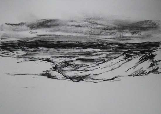
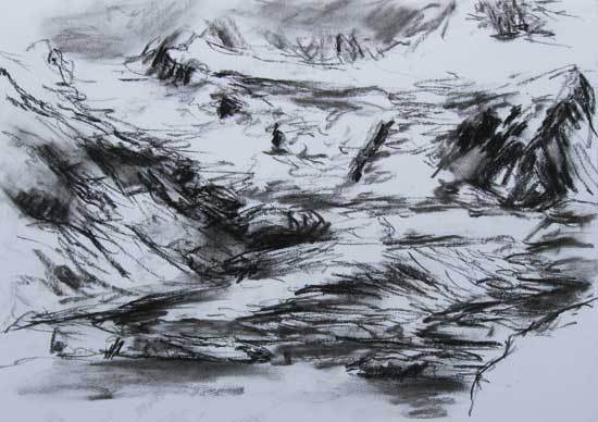
South and Central American artworks.
Medium: Charcoal on paper. Dimensions: 43-31cm