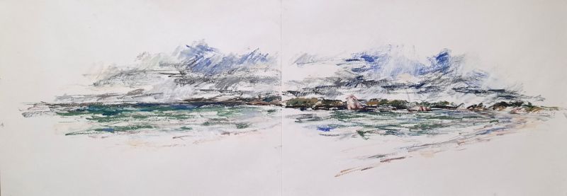
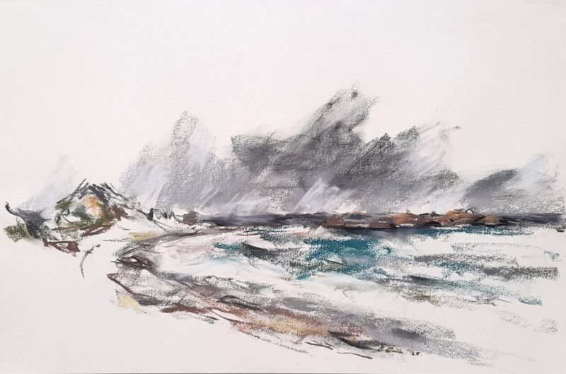
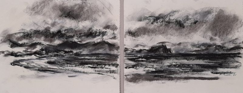
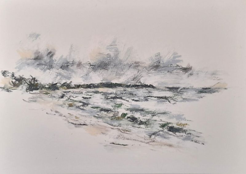
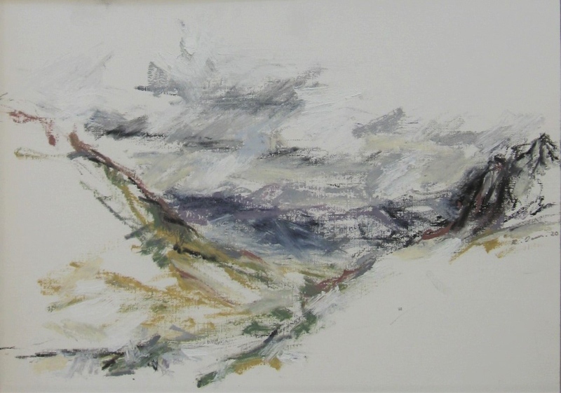
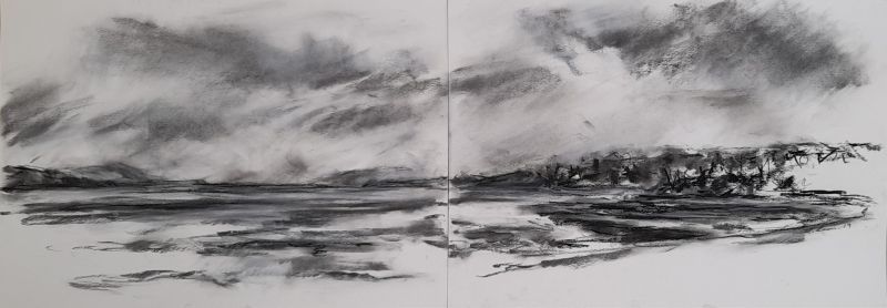
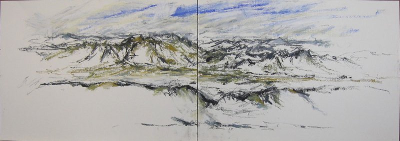
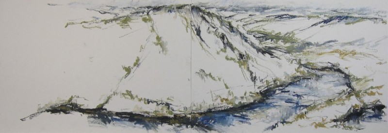
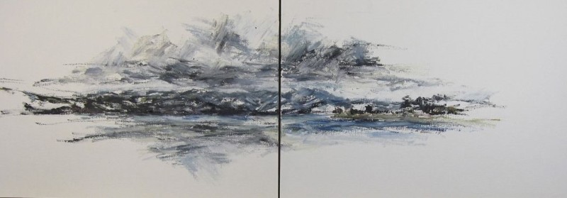
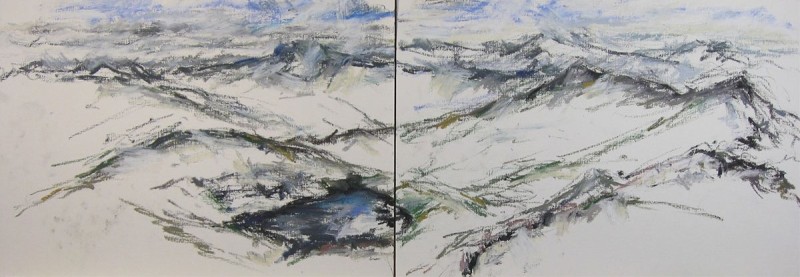
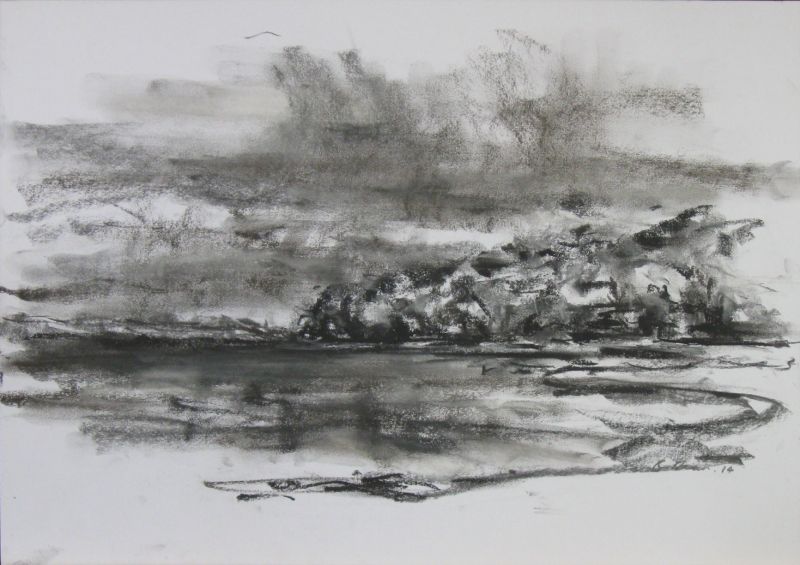
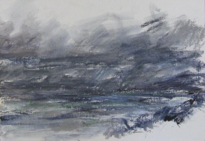
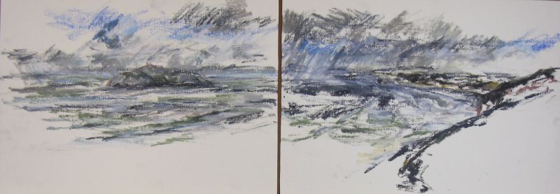
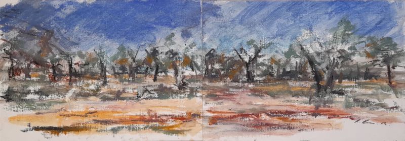
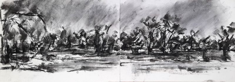
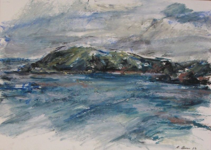
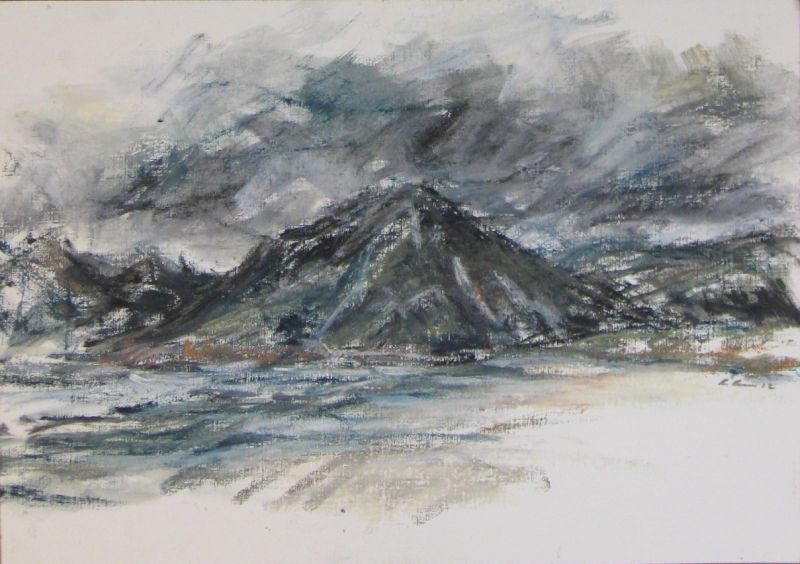
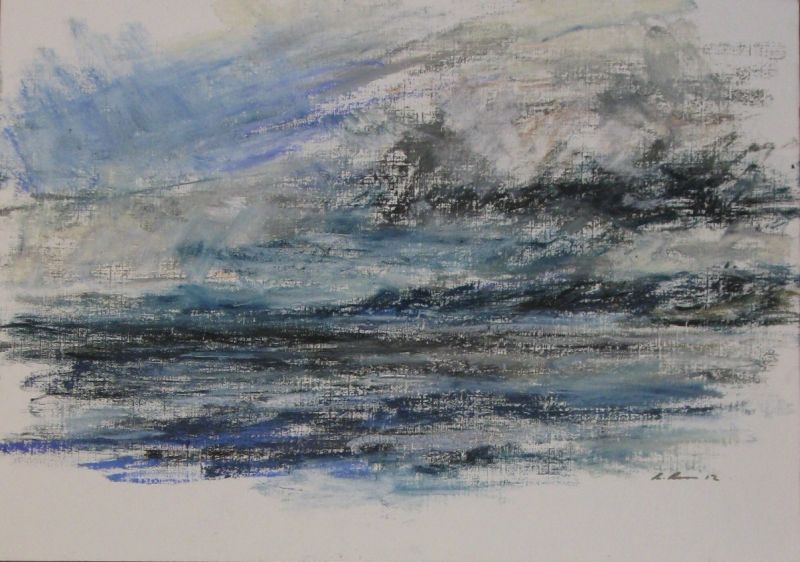
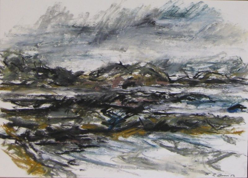
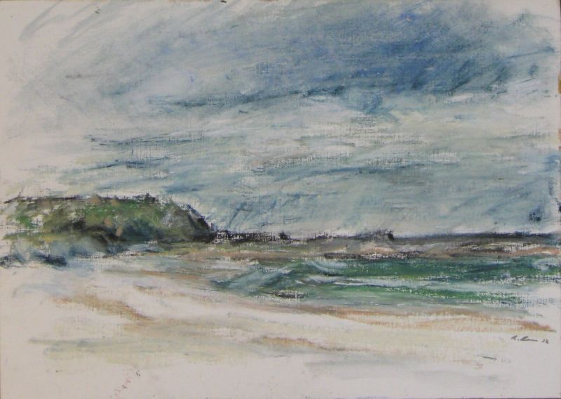
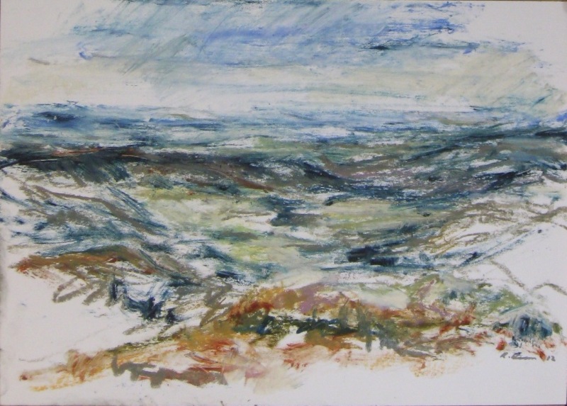
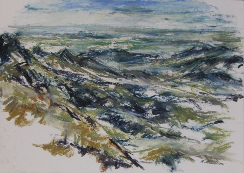
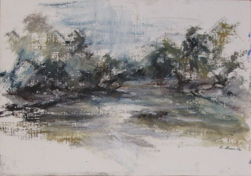
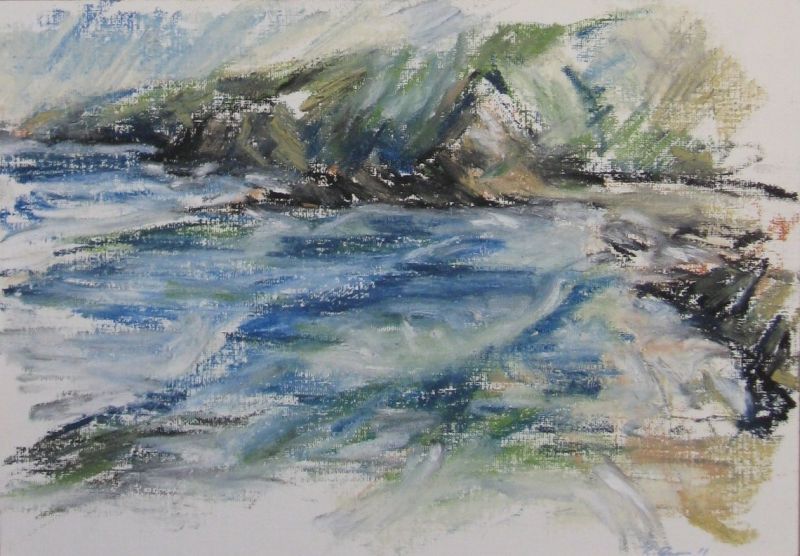
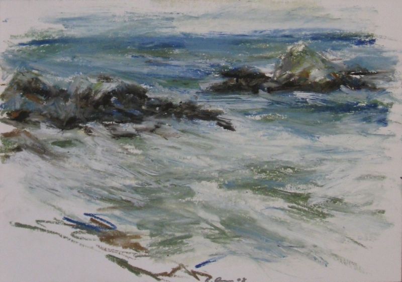
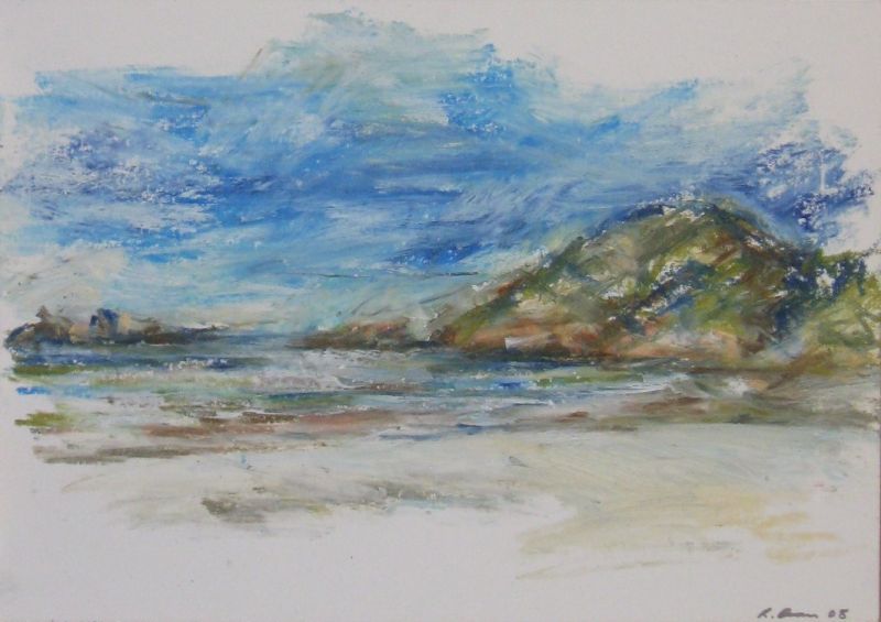
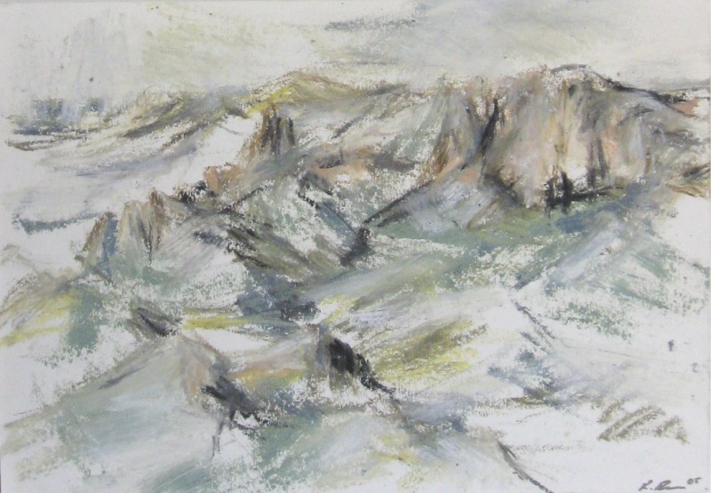
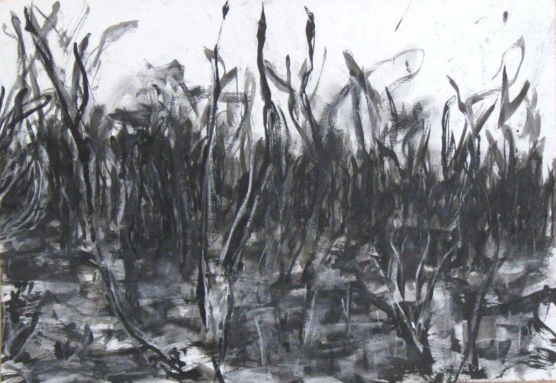
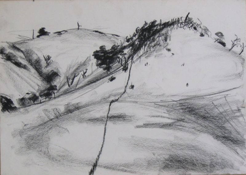
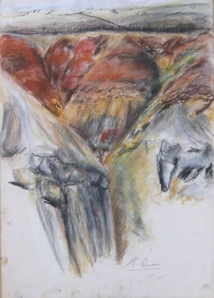
A small selection of drawings done in the landscapes of Tasmania and south-eastern Australia.
Media: Oil pastel, charcoal or soft pastel, watercolor and ink on paper.
Dimensions: 23-14cm to 76-56cm.
Tasmanian landscape drawings.
Since 2022.
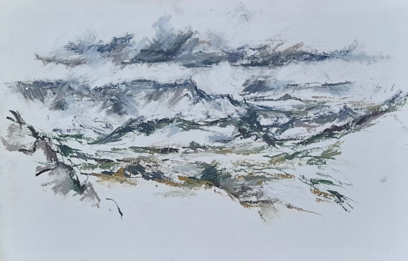
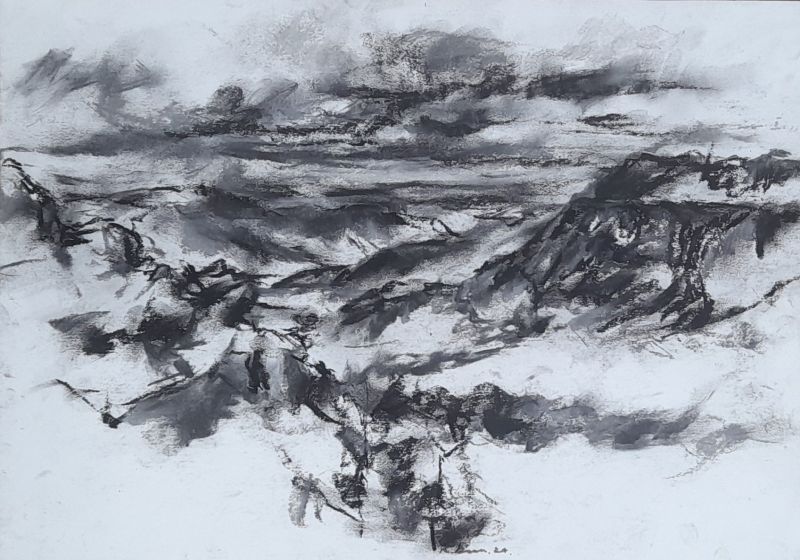
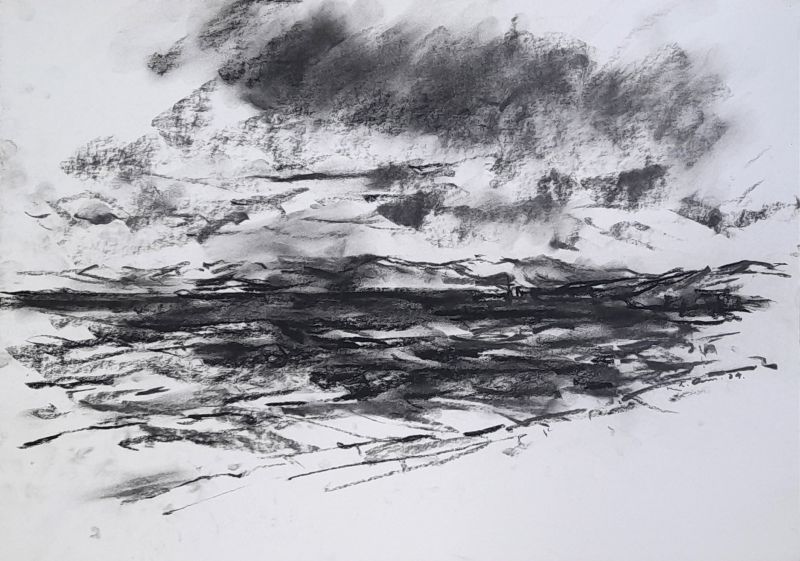
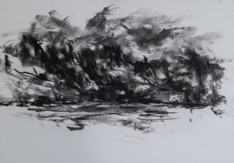
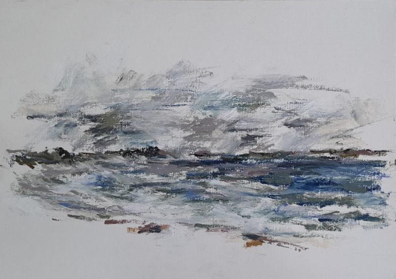
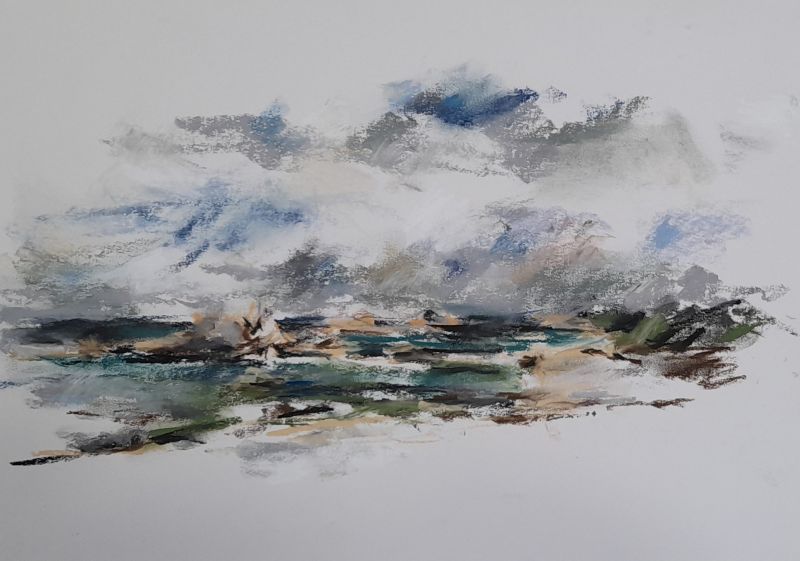
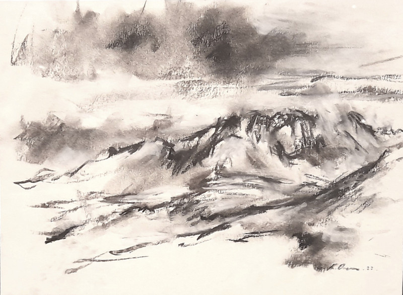
2011 to 2020.
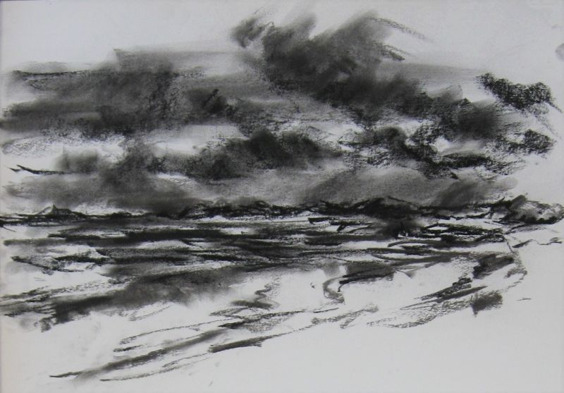
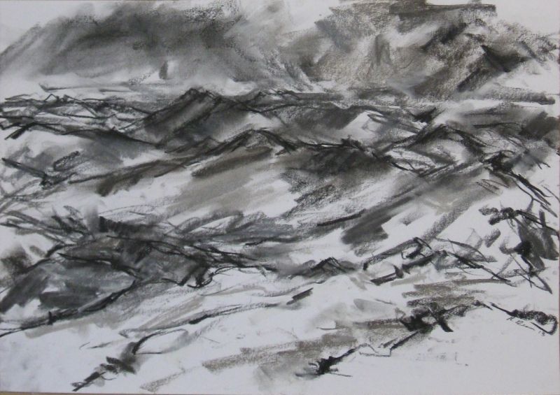
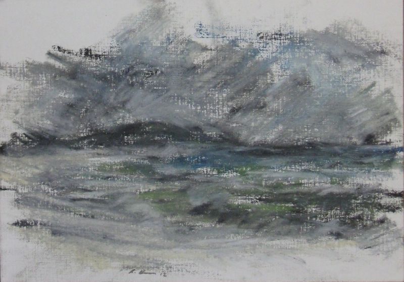
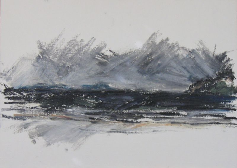
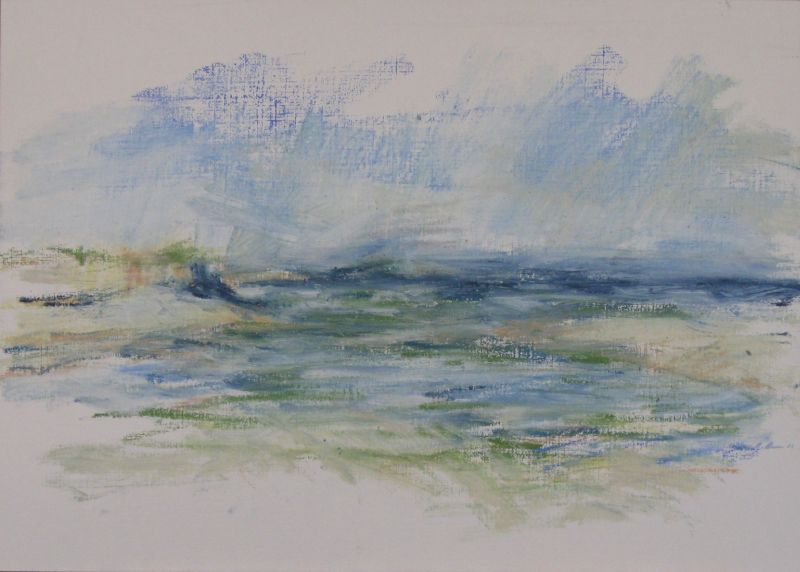
1988 to 2008.
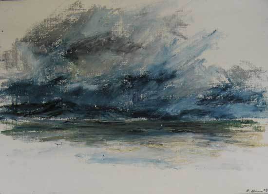
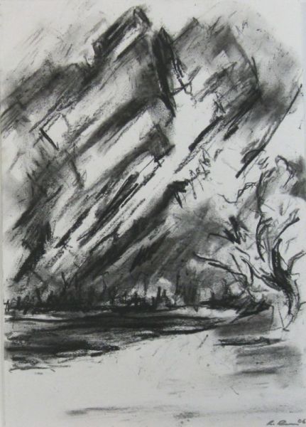
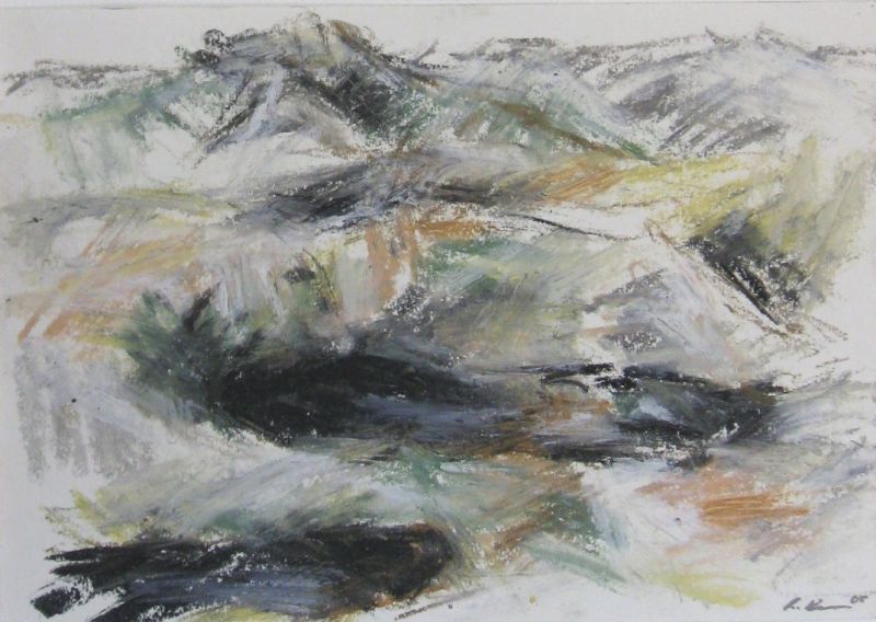
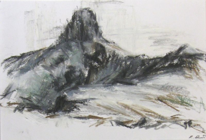
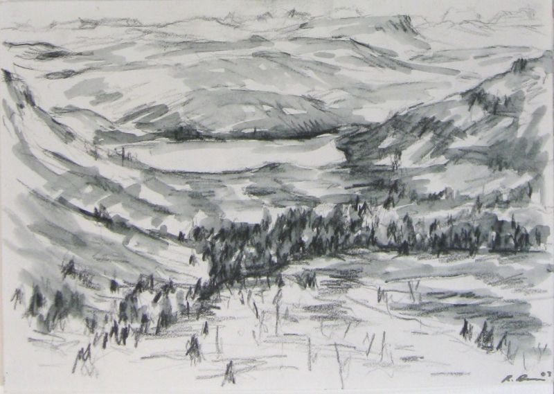
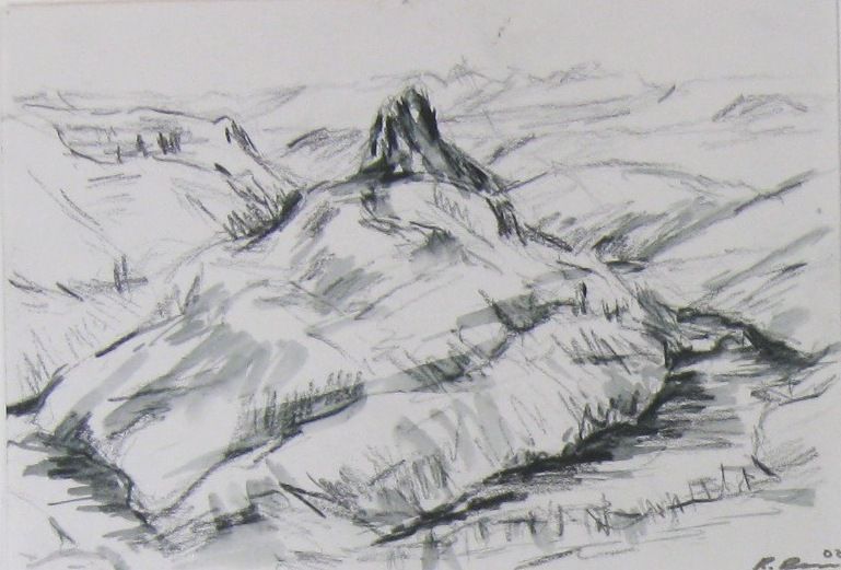
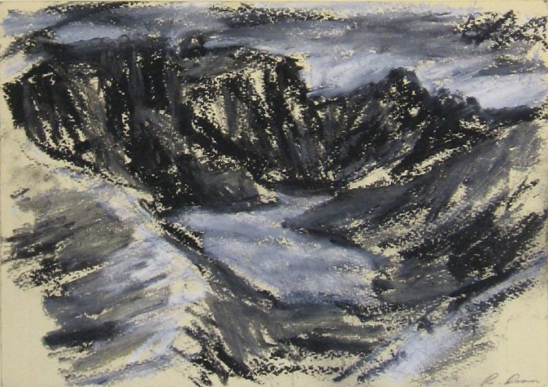
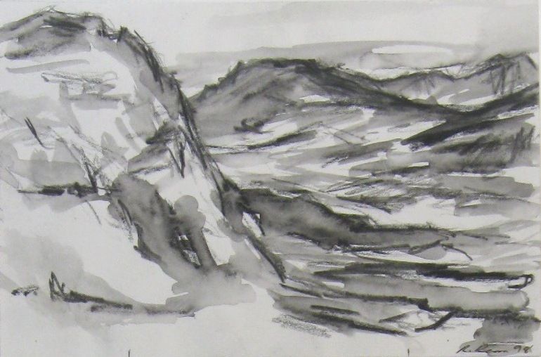
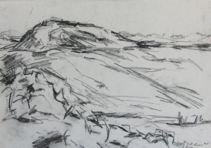
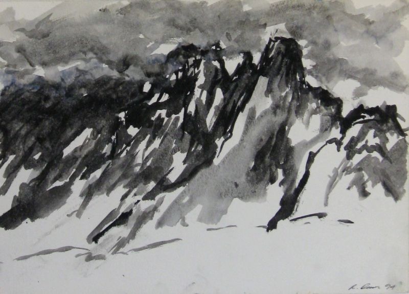
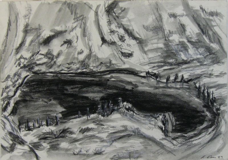
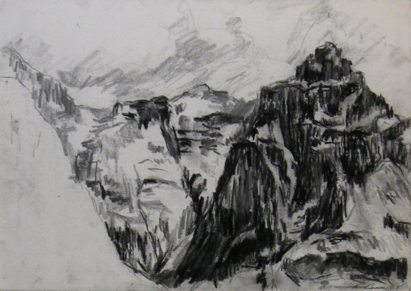
South-eastern Australian landscape drawings.
Since 1984.
Tasmanian landscape photo and stories.
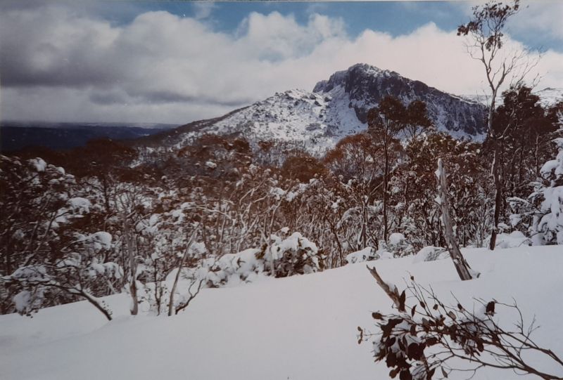
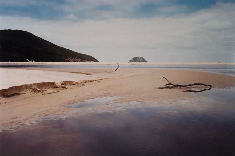
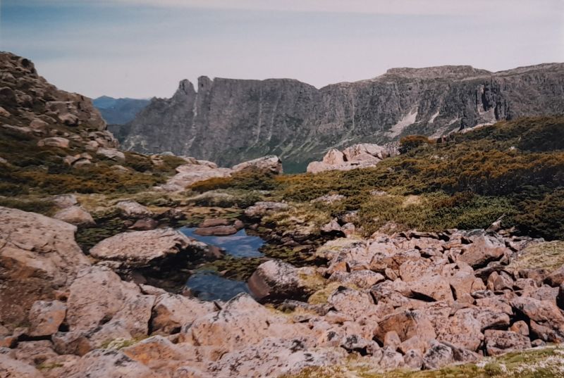
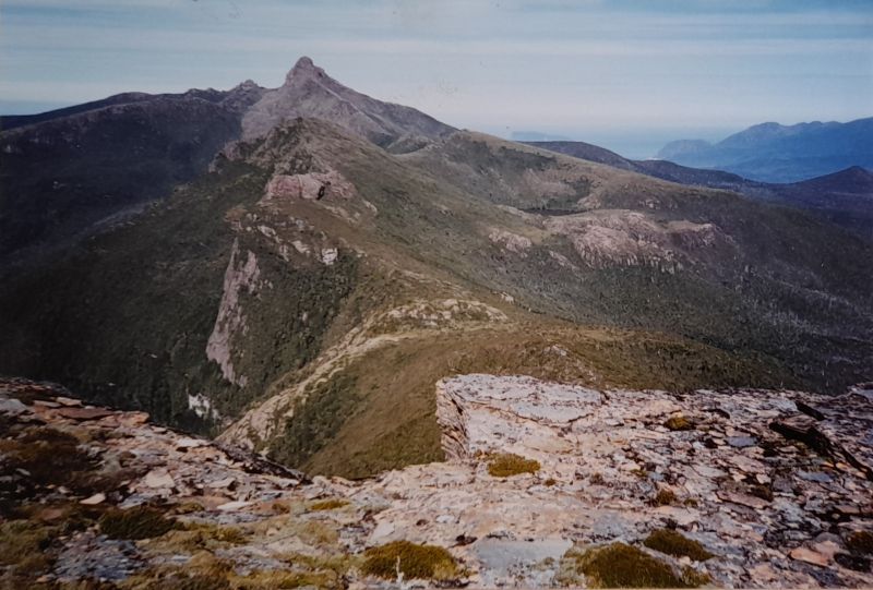
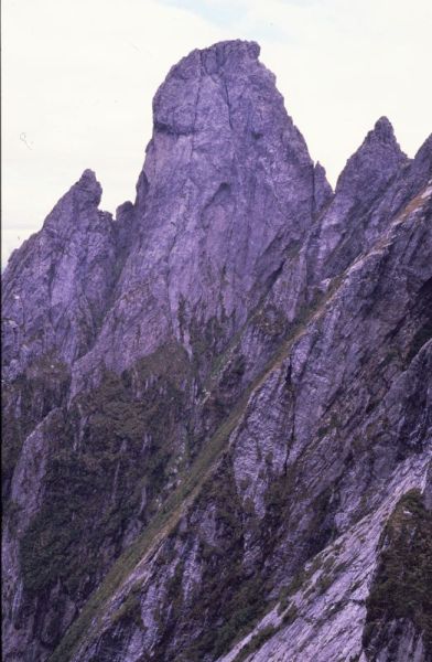
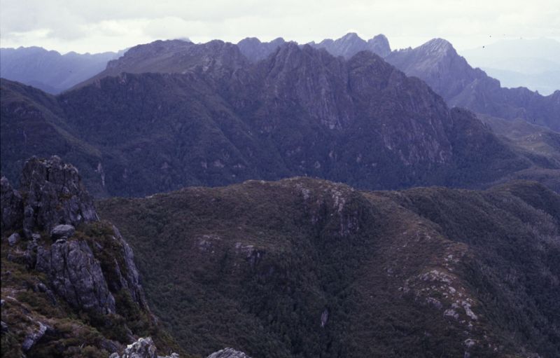
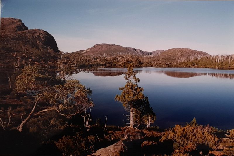
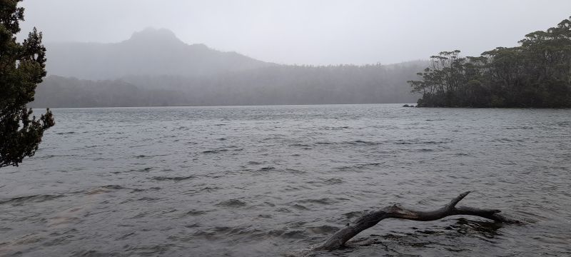
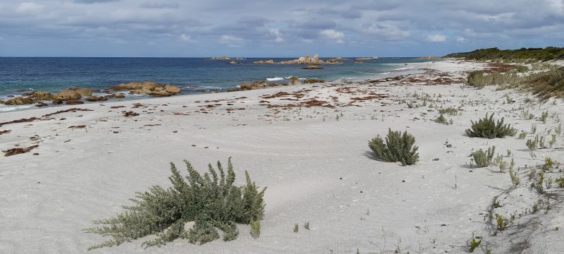
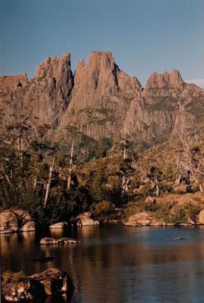
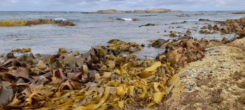
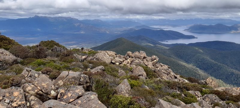
This small selection of Tasmanian landscape photos starting from 1985, are randomly placed to contrast with the more ordered galleries of drawings on this page. Prior to 2004, all photos are from slide and print film.
Tasmanian journal extracts from 1985 to 2008.
I got my first full view of Cradle Mountain as we rose up to the ridge above Crater Lake, then walked towards it as we followed the trail to Kitchen Hut. I remember thinking this was the most stunning mountain I had ever seen, and the glacial landscape was beyond anything I could have imagined. In some ways, I was glad I had not seen any images of this landscape before coming here, as it just took my breath away and was such a wonderful surprise. Cradle Mtn 1985.
I set off around the north end of the Rodway Range via The Watcher and a beautiful section of small tarns surrounded with cushion plants. From a saddle with a hut, I followed a track out along a ridge to Mt Field West, with views of the peaks and ranges of the south-west. Mt Field 1989.
I don´t remember anything of the walk once we left Mt Pegasus, as I was just trudging along in the rain behind someone with a pack in front and others behind, so all I really remember was the sight of wet packs, legs and boots. Apart from that, I only remember wet scrub, slippery roots, mud and water splashing up in my face. I, and the others, slipped over many times, particularly on the wet roots and there was hardly a flat section of track, as we were constantly going up and down, using our hands as much as our feet, and having to concentrate all the time so as not to fall and injure ourselves or each other. Western Arthur Range 1986.
I walked up and on to the Labyrinth and found a great camping spot by a tarn, where I stayed for nine nights. My main purpose for coming here was to draw the landscape. This was my first trip where drawing was the priority. The weather was cold, wet and windy for the first couple of days, so I only got to see glimpses of the peaks and ranges around me. The Labyrinth 1994.
After packing up on another wet, cold morning, we headed mostly south along the high ridge of the Eastern Arthur Range. We passed the Gables and Four Peaks, with Lakes Cracroft and Bewsher down the east side. It was a fairly easy day´s walk compared to others, with good views of the ranges and Federation Peak getting ever closer. We also went through some lovely ancient alpine forests full of pandani and pine trees. Eastern Arthur Range 1986.
It got dark and cold early, and it was a struggle to cook our dinner, with my Trangia stove disappearing into the snow, as it melted its way down into a hole. By the time the dinner was cooked, it was half a metre down. It was a cold miserable night, and I only had a foam mat to sleep on, with a metre of snow beneath me. Walls of Jerusalem 1994.
Again, it was well after 7pm by the time we got here and made our camp. This time, it wasn´t raining, so it was much easier, although a big gust of wind blew the outer part of the hired tent off and it went sailing down the slope and into the creek. I was cooking part of the dinner at the time, and suddenly found myself outside. We were lucky it wasn´t raining and we managed to retrieve the outer part of the tent and put it back on, with some extra tying down, so it wouldn´t do it again. Bathurst Harbour 1987.
It turned out to be a fine sunny morning but very cold, as we packed up and headed up the trail to the plateau, with a couple of guys on skis and snowshoes. They headed across the plateau towards Lake Adelaide, and it looked so effortless as they swiftly moved across the deep snow. We kept slogging our way up and along the main track, but the snow was getting deeper and harder to move through. We dropped our packs and walked up a small hill to get views of King Davids Peak, Clumner Bluff and Lake Adelaide. It was so beautiful to see this with deep snow covering everything, including the snow gums. Walls of Jerusalem 1994.
We headed off past the Devils Thumbs and out along the ridge to the peak itself. It was a 200m climb from here, with a tricky low-level rock scramble on the way up. A group had gone up ahead of us using a rope, with one guy losing his camera which bounced down the cliff smashing into pieces. A reminder of how dangerous this exposed climb is. We climbed up without rope assistance across and up a narrow ledge with enough foot and hand holds in the rockface, but it had to be done slowly and carefully. We had calm dry weather so the rockface was not slippery. We were elated to finally get to the top after 13 days on this grueling trek across both the Western and Eastern Arthur Ranges. Federation Peak 1986.
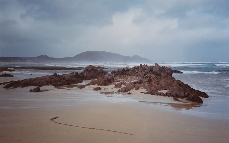
It took us about three hours to climb this open ridge, with many stops to rest and enjoy the views back across the Louisa Plains to the coast. Eventually, around midday, we reached a high point on the track just below the highest peak on the Iron Bound Range at 1060m. We got stunning views of Prion Bay, back towards Louisa Bay with De Witt and Maatsuyker Islands off the coast, and north towards Federation Peak. It was cold and cloudy again, but we had clear views all around. South coast 1987.
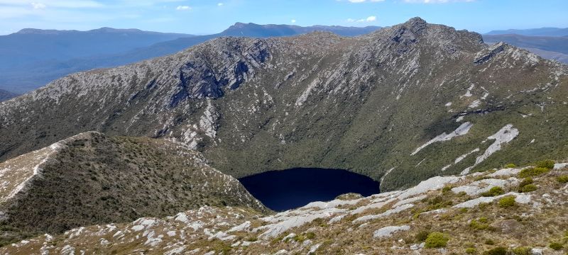
I got a beautiful clear, sunny day and had a lovely walk out across the ridge and up to Pindars Peak again, and this time I had fantastic views of the south coast, the peaks of south-west Tasmania, and the deep glacial lakes of the Southern Range down the east side. The summit was quite small and pointy. Dropping away steeply on all sides. I stayed up here most of the day and did a few sketches in the changing light with clouds coming in off the coast. Southern Range 1995.
We had a quick lunch, then headed on across the bumpy slopes below Sharlands Peak. We passed a Czech gentleman using an umbrella to keep the rain off. He was an odd sight. It was a Magritte-like, surreal moment, with his umbrella in the wilderness. Such a stark contrast and seemingly out of place. Frenchmans Cap 2008.
We walked across the plateau and down slightly to its western side, which had some rock outcrops that gave shelter from the south-west. We found a reasonable camping spot and set up our tent, with stunning views down the Pine Valley towards Lake Sinclair and Mt Geryon. We had a beautiful calm and clear evening with not a cloud in the sky, and watched the sun go down over this gorgeous landscape, as we had our dinner outside. Ducane Range 1988.
I did some sketching and got fantastic sunsets from Nevada Peak. The first evening, the sun lit up a blanket of cloud below, which changed colours as it went down. The next time, the sun lit up the underside of a higher cloud layer and also changed colours as it went down. Unfortunately, I didn´t bring a camera to photograph what were two of the most amazing sunsets I have ever seen. Snowy Range 1996.
After packing up, we walked to the nearby edge of the Great Western Tiers. I had been looking forward to this, as I was hoping it would be similar to the spectacular cliffs in the final scene of the film; The Gods must be Crazy, with the bushman-chief throwing the Coke bottle over the edge of the World. To my delight, it turned out to be just like it, and even had the same layer of cloud down in the valley, which really made it look like the end of the world. The view of the Western Tiers was stunning in the morning sun, with Quamby Bluff, like an island in a sea of cloud stretching out to the horizon. Central Plateau 1988.
I followed the track up the side as I had done before and in similar weather, which got steadily worse as I got higher up, until I was completely in cloud at the top of the range. Just as I got there, a couple came from the other direction and said they were going back down. They couldn´t work out which way the track was going, and felt disorientated in the mist. I told them they could follow me, as I had been this way before and was determined to get to Lake Cignus today. Maybe they thought I was crazy and would get us all lost, as they wouldn´t change their mind and headed back down the moraine. Western Arthur Range 1996.
The track followed the cliff-tops on the west side of the cape and we could see down to the bottom, and even hear seals barking way below. Before long, Tasman Island came into view, with its impressive 200m cliffs on all sides. Cape Pillar 1988.
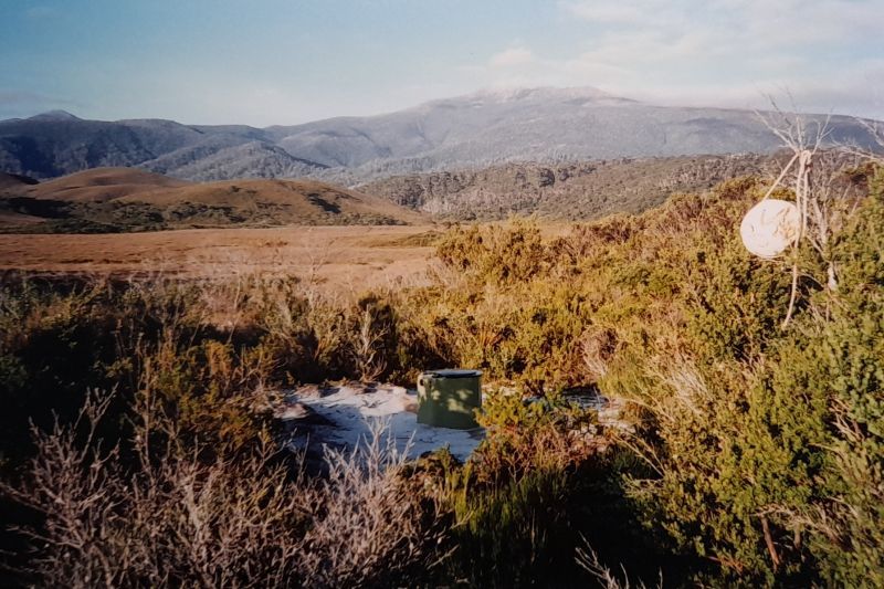
I had a lovely afternoon and evening here all on my own, with good sunny weather. There was a drop toilet on a hill nearby, which didn´t have a cubicle around it. When I used it, I had great views all around, and anyone could see me sitting on the dunny. South coast 1997.
I climbed up the north side of this peak, including a bit of a rock scramble up to the summit. It was only 100m higher than the ridge it sat on, but being stuck out away from the main range, it had fantastic views of Mt Anne, Mt Lot, Mt Sarah Jane and the Lonely Tarns. I had clear sunshine while I was here and for the whole day and did my first sketches on this trip. Mt Anne 1988.
It was really foul weather, with strong wind and rain all day. I was constantly blown sideways off the track, as I walked across the exposed plateau of Mt Eliza and down to the saddle between it and Mt Anne. I headed to Shelf Camp, where I set up my tent in a nook down out of the wind, but even there it was still blowy. Late in the day, someone else came and tried to camp up on the big rock above me, but they gave up and headed off, probably back down to the hut. Mt Anne 2000.
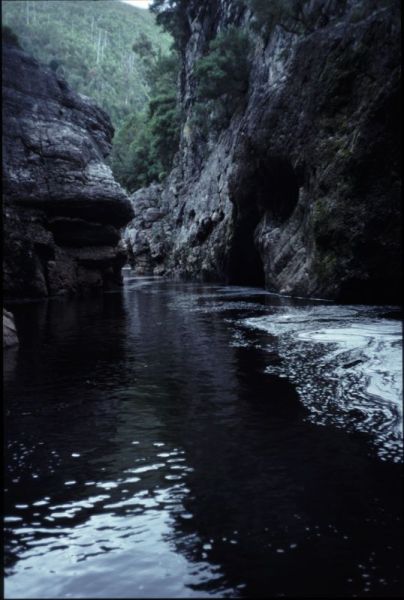
I decided to swim up Irene Abyss, using the lilo. It was cold, but I could make my way up by clinging to the side walls and rocks of the abyss and managed to get about 50m upstream. I even took my camera and carefully held it over my head to keep above water and got some good shots of this spectacular gorge. I could imagine the water would rage through here after a lot of rain and could rise quickly and without warning. Franklin River 1988.
The warm, sunny weather continued for the whole time we were here, and we had two days to explore the southern part of this plateau, with walks out to the Stacks Bluff, out off the southern end, along with the high cliffs around the south-eastern side. We were surprised to see a Tasmanian Devil hopping about up on the plateau, as we walked back from the bluff. I did a few sketches of this landscape over these days, and like the ones done on previous walking trips, they became subjects for studio paintings and drawings. Ben Lomond 2001.
Although we still couldn´t see to the horizon, we got amazing views down into the valleys and lower peaks of the ranges around Frenchman´s Cap. It seemed like we were so much higher than everything around us. We sat right above a 400m cliff-face, which was a little scary to look down, as I had a fear of heights. To the west, I could see the West Coast Ranges, including Mt Owen, just above Queenstown. Frenchmans Cap 1988.
We ended up scrub-bound for ten hours, as we tried to get up to a saddle between Coal Hill and Gould´s Sugarloaf. It was taking all this time just to go 1km, as we contoured up to the saddle. We didn´t get out of the scrub and onto the open ridge until 8pm. Central highlands 2002.
The gorgeous weather continued on our rest day here at Lake Rhona, and Graham and I went for a circuit walk from the lake up to a ridge between it and Crooked Lake. I did a couple of drawings of this lake, set in a deep glacial valley, before we climbed up this ridge all the way to the summit of Reeds Peak. Denison Range 1989.
I had a full day exploring the tops above Lakes Adelaide and Meston, doing drawings along the way with great views of these lakes and the peaks of the central highlands. It was warm, sunny weather for the first five days, so it was pleasant walking and no scrub to deal with, as I walked along open grassy plains towards Lake Ball. I then walked up through the King Billy pines to Dixon´s Kingdom hut, and on up a track to the Blue Tier. I headed off-track to the south-east, through mostly open country of burnt pines to a lake near the edge of the tier, where I set up camp for two nights. Central Plateau 2003.
We were quite surprised how easy it turned out to be, and how lucky we were not to end up scrub and cliff-bound and having to go back another way. Fortunately, the river was low and not flowing fast, so we could easily swim across, with our packs in garbage bags, to the other side. Just to the west, the river entered a deep, narrow gorge, and just to the east, steep cliffs rose up on both sides. We came down at the only spot it was possible to cross the Gordon River. A combination of luck and good guess work. Gordon Gorge 1989.
I walked over the Rodway Range and up onto Florentine Peak in foul weather and low visibility. I relied on my map and looking at the ground to find my way along the ridge and down the south-eastern side to Tyenna Peak. Then down to the southern end of Lake Belton, where I camped the night. I found a sheltered spot out of the howling wind, which caused waterspouts on the lake. Mt Field 2004.
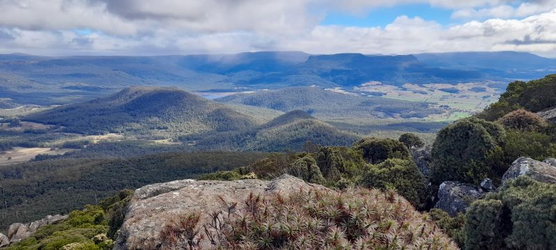
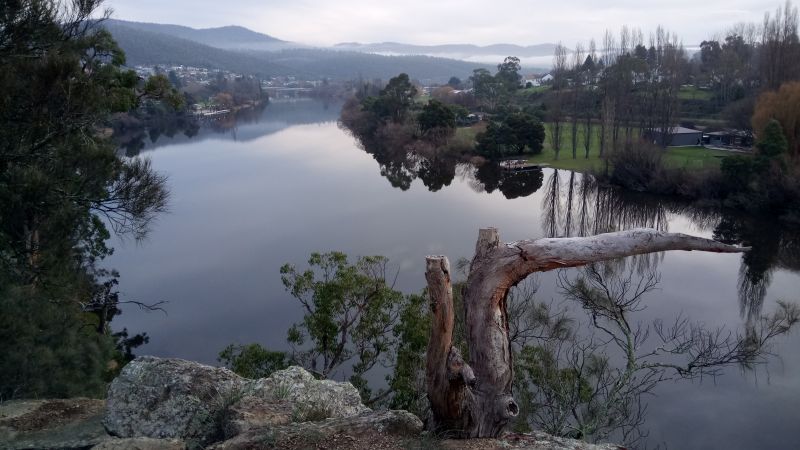
Tasmanian landscape photos.
To view all photo galleries, click the arrow below.
South-eastern Australian landscape photos and stories.
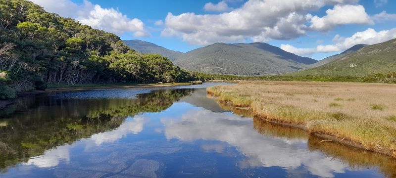
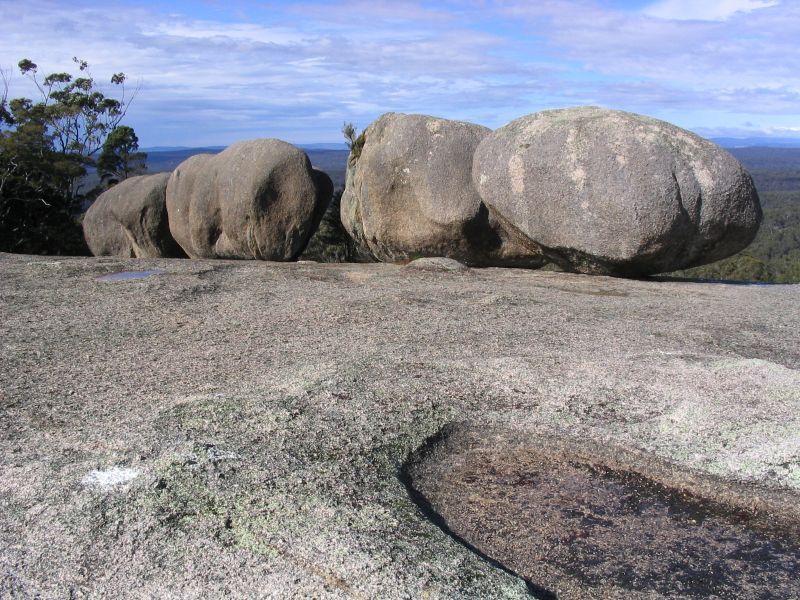
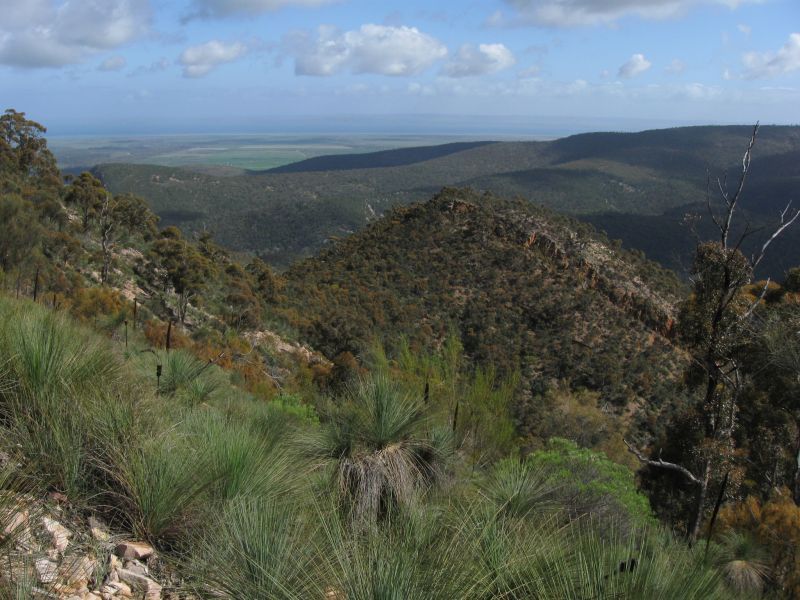
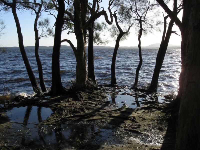
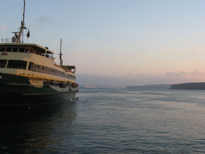
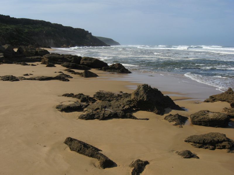
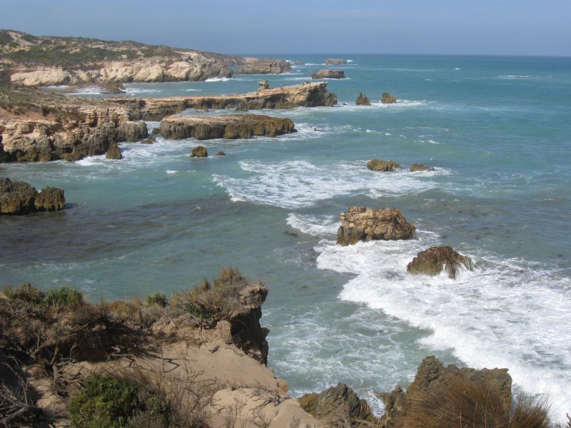
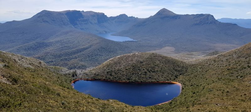
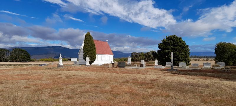
This small group of randomly placed photos date from 2004 and are all digital.
South-eastern Australian journal extracts from 2012 & 2013.
The fisherman here seemed to be a law unto themselves, as they drive all over the beach and dunes, camp where they want, light fires and throw rubbish everywhere. This is a dark side of Australian culture that I would see more of on this, and the next camping trip to Western Australia in 2013, particularly along the coast and the Murray River. Canunda NP, s-e SA 2012.
I walked through the forest of wildflowers to the beach, and sketched the inlet, sand bars and ocean with storm clouds overhead. There was a strong wind from the south-west, which almost collapsed my tent. Mallacoota, s-e Vic 2012.
Today was spent drawing and walking by the riverbank, around a couple of bends passed another campground further north where someone was camping. It was a beautiful stretch of the river, with lots of big old red gums in the water, as the river was slightly in flood. The bird life was fantastic, with all sorts of water birds here, including pelicans, cormorants and swans. There were also a lot of different parrots and honey eaters up in the tree canopies, making quite a noise. Murray River, s-e SA 2012.
I was getting a bit of a system going with a number of meals each night including omelettes, spaghetti bolognese, other pasta dishes, roasted vegetables and even lasagne. With a fold-out table, chair and annex over the back of the car, I could easily cook a good meal on my little old Trangia stove that I had since my first camping trips to Tasmania back in the mid-eighties. Over the ten days so far, I had learnt to park the car facing the prevailing wind, so as to have shelter while cooking and also if it rained. I also had a good supply of red wine and nibbles to have before dinner and would have cake, chocolate and biscuits with coffee after dinner. Mt Remarkable, eastern SA 2012.
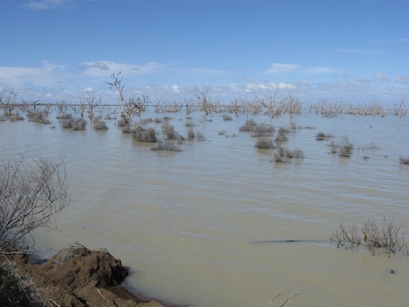
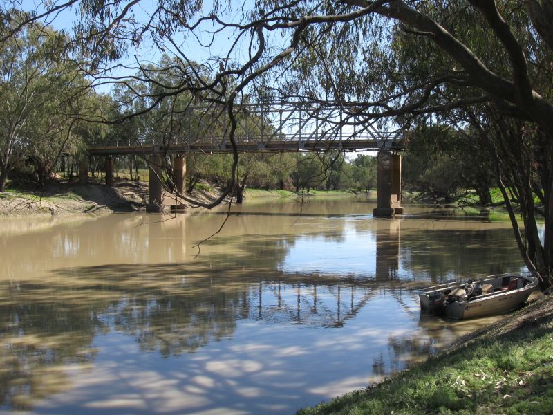
I spent the day here walking along the banks of the Darling River and doing a few drawings, which were the first since leaving Uluru. There were lots of birds flying up and down the river, or in branches of dead trees above it. I saw flocks of pelicans, cormorants and egrets, along with many species of ducks. The flood here was about three months ago and up to 1m above the banks of the river, going by the marks on the tree trunks. Darling River, western NSW 2012.
It was almost totally flat country out here, through grazing land and some bushland, which was nice county to travel through. I saw the incredible sight of a small, old 4WD being pulled by two camels. I followed it for a while before slowly passing and noticed the driver hadn´t broken down. It was how he was travelling. I later saw a couple of stumpy tailed lizards crossing the road and stopped to get them off so they wouldn’t get squashed. Along the Darling River, western NSW 2012.
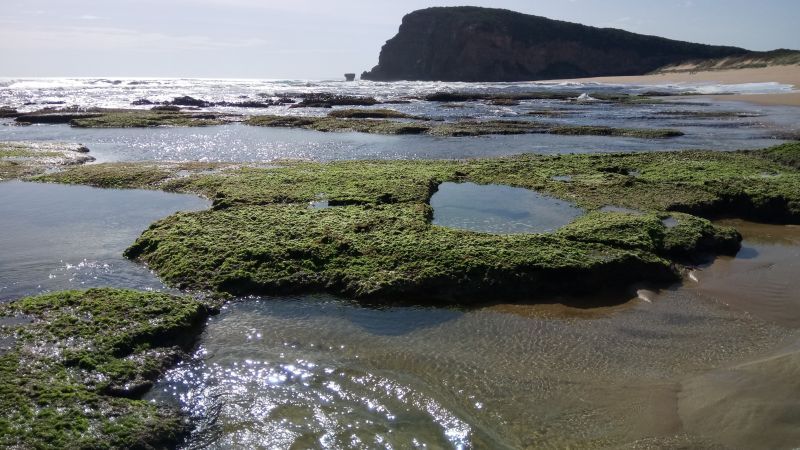
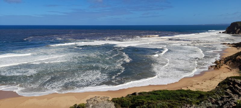
It was a lovely warm morning, and I walked down a track and by the inlet to the ocean beach. It was a great spot with big surf crashing in as I walked along the sand to the rocky headland at the eastern end and just watched the waves coming in. A large headland on the west end made this into a beautiful cove. Princeton, s-w Vic 2013.
The road turned from a well-formed and graded dirt road into nothing more than a farm track, with washouts and ruts here and there. It was getting late by now with the sun going down, and I had to watch out for kangaroos and emus crossing in front of me, along with herds of stroppy cows and bulls. At one stage, I had about thirty of them running along in front of me. I bottomed out a few times and was lucky not to do some serious damage when I almost went into one seriously nasty rut and turned just in time to avoid the worst of it. Towards Tilpa, northern NSW 2012.
It was a good walk up through scrubland and some forest, and I did a couple of drawings of the plains towards Bourke to the north. It was quite an impressive range, about 250m above the surrounding plains. There were a lot of native pines growing on it, along with numerous flowering plants. I saw four eagles circling overhead as I climbed up, while herds of goats and lots of euros or wallaroos were on the plains below. Gundabooka, northern NSW 2012.
After lunch, I returned to the lakebed to do some more drawings and was surrounded by a large group of curious emus who came right up to me to check out why this person was sitting on the ground. They walked around me with two curious young ones coming to within a couple of metres. Once satisfied, they moved away to graze again. Hattah Lakes, n-w Vic 2013.
An eagle took off from a tree right above me and hovered just a few metres above my head, dropping and rising with its talons out. I was a bit wary of it attacking me, as I may be near its nest, but it glided away once I sat down. It was a beautiful spot, and magnificent views across the mountain ranges, and out across the plains to the west and south. In the distance, I could even make out the Warren-bungles far to the south, where I had camped back in 2005. Mt Kaputar, northern NSW 2012.
There was an odd bunch of campers here with their dogs and old vans. I managed to find a reasonable spot away from them. It was a lovely calm evening, as the sun went down over the river and the higher bank of yellow cliffs on the other side where the township of Swan Reach was. I saw pelicans gliding up and down the river waiting for a bit of cast-off carp from one of the campers fishing along the bank. With a few other campers here, I felt safe being in this dodgy free campsite tonight and even had a chat with a few of them. They were a mix of bogan fisherman, grey nomads and young backpackers, so there was a good balance. Swan Reach, s-e SA 2013.
I walked through the beautiful forest, and along a creek and back via an old wood cutter´s track. It got dark early, due to the thick forest cover and the steep hills to the west. There were no other campers here, so I was all alone in the dark forest, which was a bit spooky, but a great experience. Washpool NP, n-e NSW 2012.
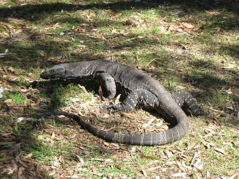
I got to see three big goannas of almost 2m in length at my campsite and stomping around the undergrowth. One walked right under my car and passed my tent. There were also lots of magpies and butcher birds hanging about, along with a mob of grey kangaroos and wallabies. I was sent off to sleep by the sound and vibrations of kangaroos munching grass just outside my tent. Hungry Head NP, n-e NSW 2012.
It rained all night, but I had a nice full day here to walk along the coast to the lighthouse. I had great views of the coast to the north and south, and did some drawings of Disaster Bay, and south to Cape Howe. I saw seals off the rocks, a pair of liar birds and a red bellied snake curled up on the track. There were a lot of grey kangaroos and wallabies around the campground. Ben Boyd NP, s-e NSW 2012.
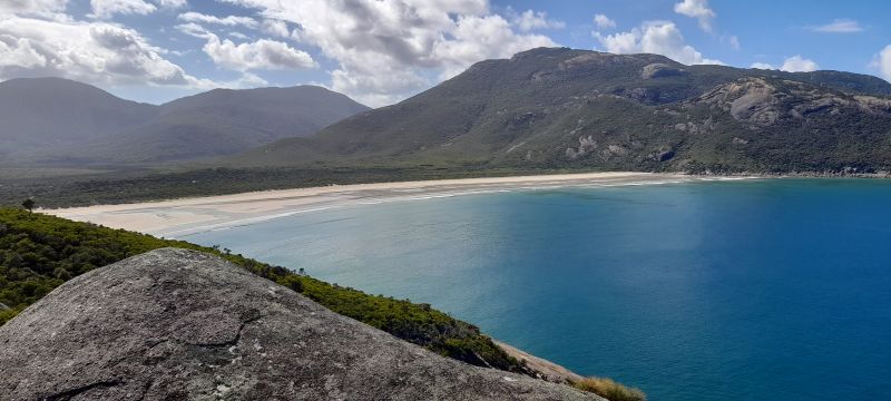
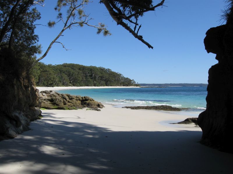
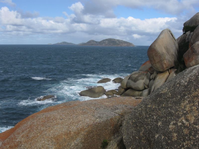
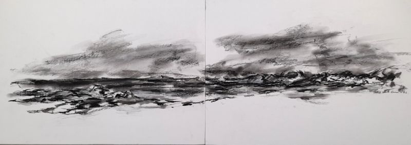
I spent the day walking down to the southern end of Oberon Bay and doing quite a few diptych oil and charcoal drawings of the bays, mountains and islands. It was lovely to walk down here again and in these blustery, wintry conditions that were just like Tasmania. Wilsons Promontory, s-e Vic 2012.
It was a very cold, clear night and I was woken up by a flock of Gang gang cockatoos. There were lots of hungry wrens waiting for breakfast, even hopping onto my leg, plate and into the back of my car. I got packed up and away by 10.30am, and headed north to Mt Zero, which I climbed and did some drawings from, with good views of Mt Stapylton and the northern Grampian Ranges. The plains to the west and north were covered in olive groves as I remembered from almost 40 years ago. Grampians NP, western Vic 2013.
It calmed down in the evening, so I could cook out of the back of the car under my annex, making my last dinner for this trip of over five months. I then had a moonlit night to walk down Norman Beach to see all the headlands, islands, mountains and breaking waves illuminated by the light of the moon. It was lovely to walk along the hard sand and hear the waves crashing onto the beach. I remembered the story of the ghost of a headless escaped convict woman who haunts the southern end of Norman Beach, and it still caused the hairs to rise on the back of my neck as I approached the big granite rocks and wondered if she would appear with her head under her arm. Wilsons Promontory, s-e Vic 2012.
South-eastern Australian photos.
To see all photo galleries, click the arrow below.